Category Archives: Arizon

Navajo National Monument – Canyon de Chelly – Monument Valley

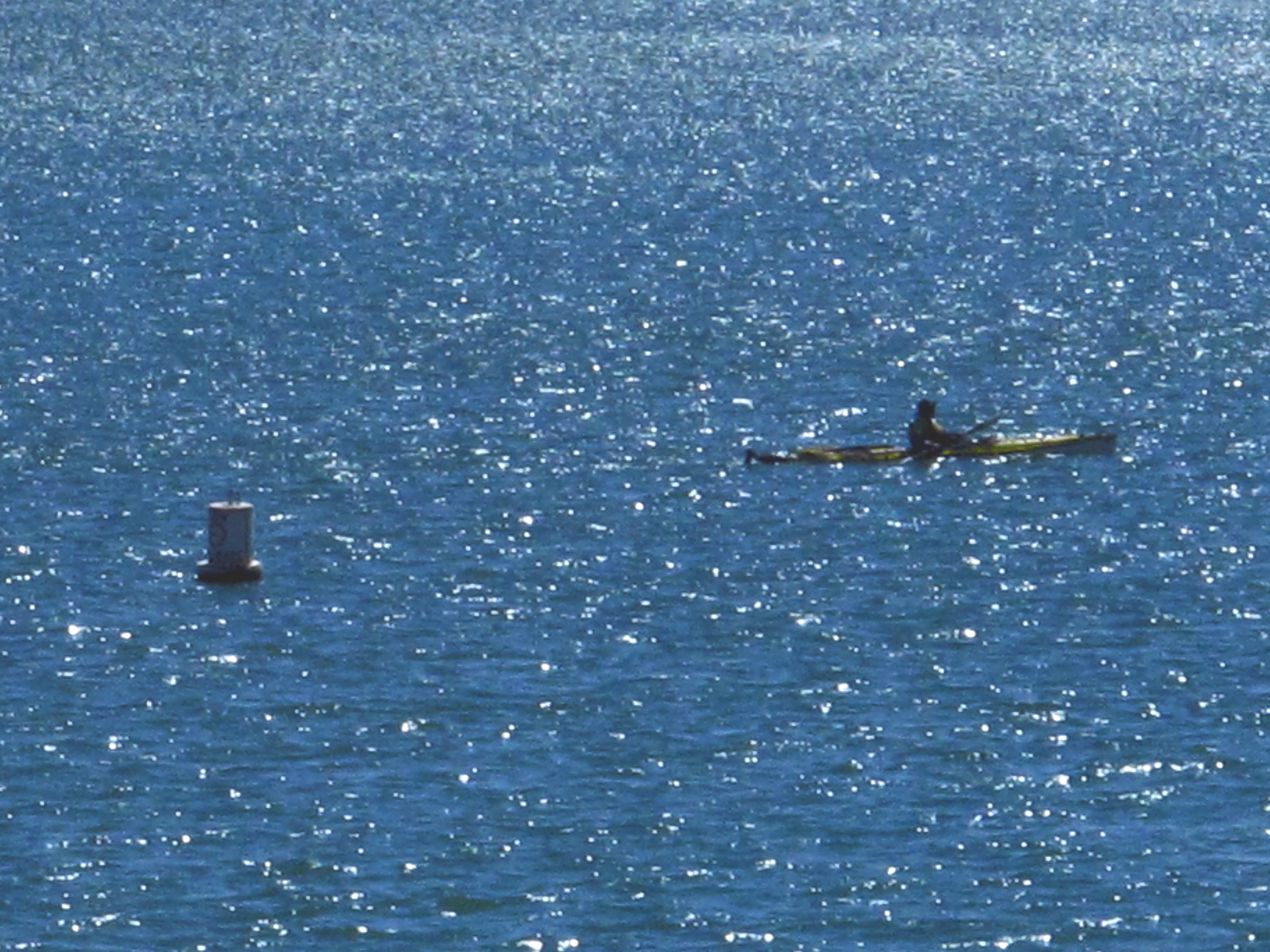
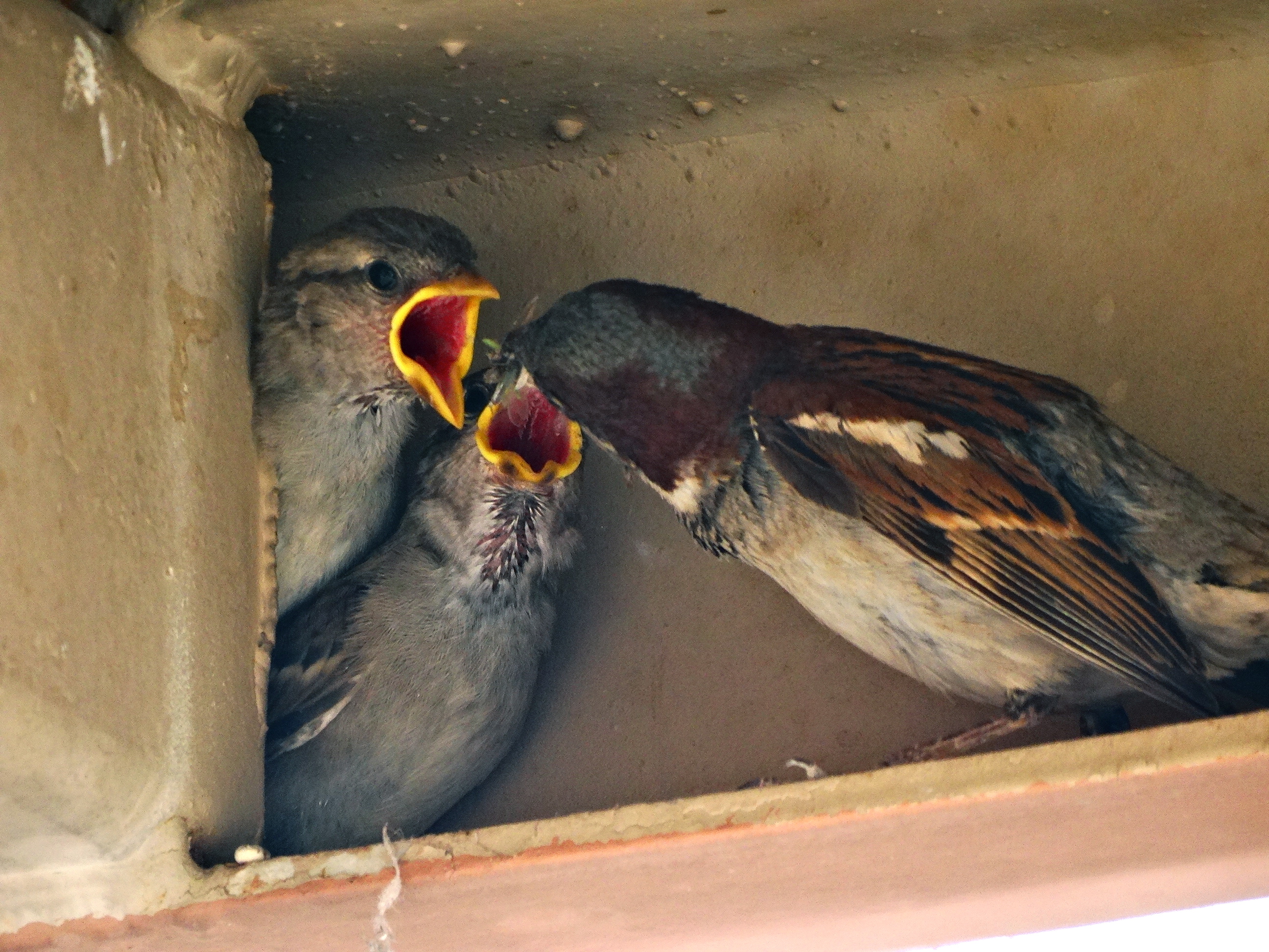
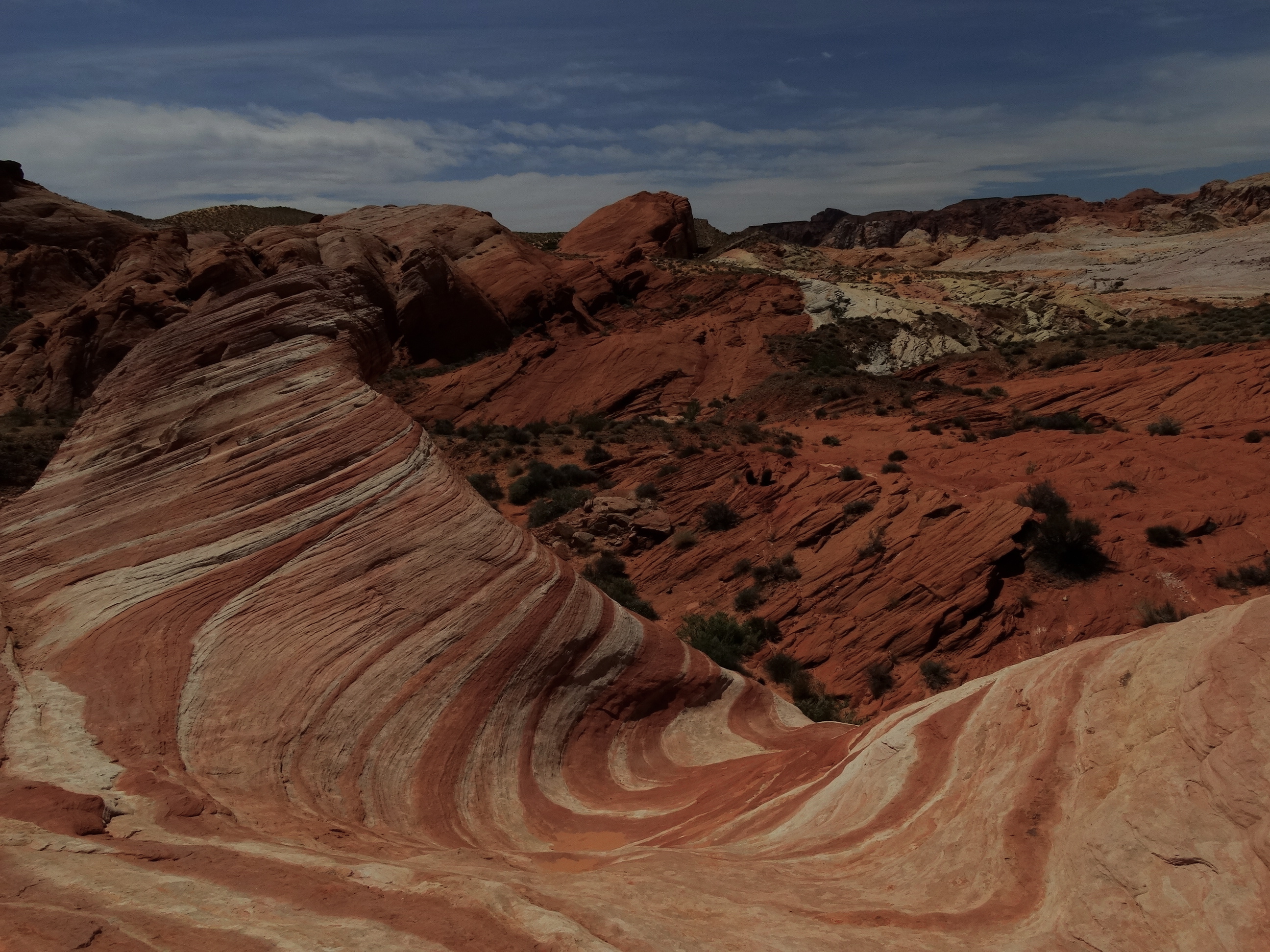
We are now entering the Navajo Nation portion of our trip. Our first stop was at Navajo National Monument where we spent the night at Sunset View campground. Their campgrounds are free they are on a first come basis and flush toilets are available. We arrived late so we just set up camp, had dinner then went for a walk around the campground. During our walk we met the man who was in Darryl’s “morning kayaker” photo the previous morning at Lake Powell. It’s a small world!

The following morning we decided to stop in at the visitor center to inquire about their guided tours to see the Betatakin ruins which are only accessible with a Navajo guide. Unfortunately, we arrived two weeks too early since their tours don’t start until Memorial Day weekend. But we were able to hike the three relatively short rim trails (Sandal Trail, Aspen Trail and Canyon View Trail) to enjoy the views of the canyons and get a peak of the ruins from the Sandal Trail.IMG_0947

A closer view of the Betatakin ruins.

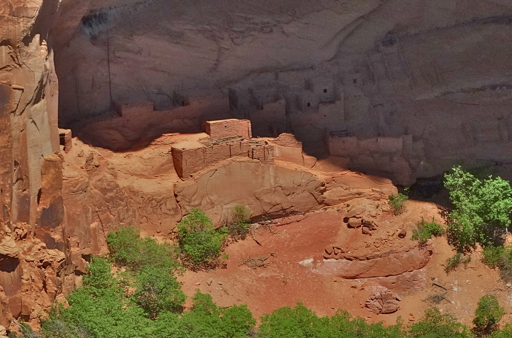
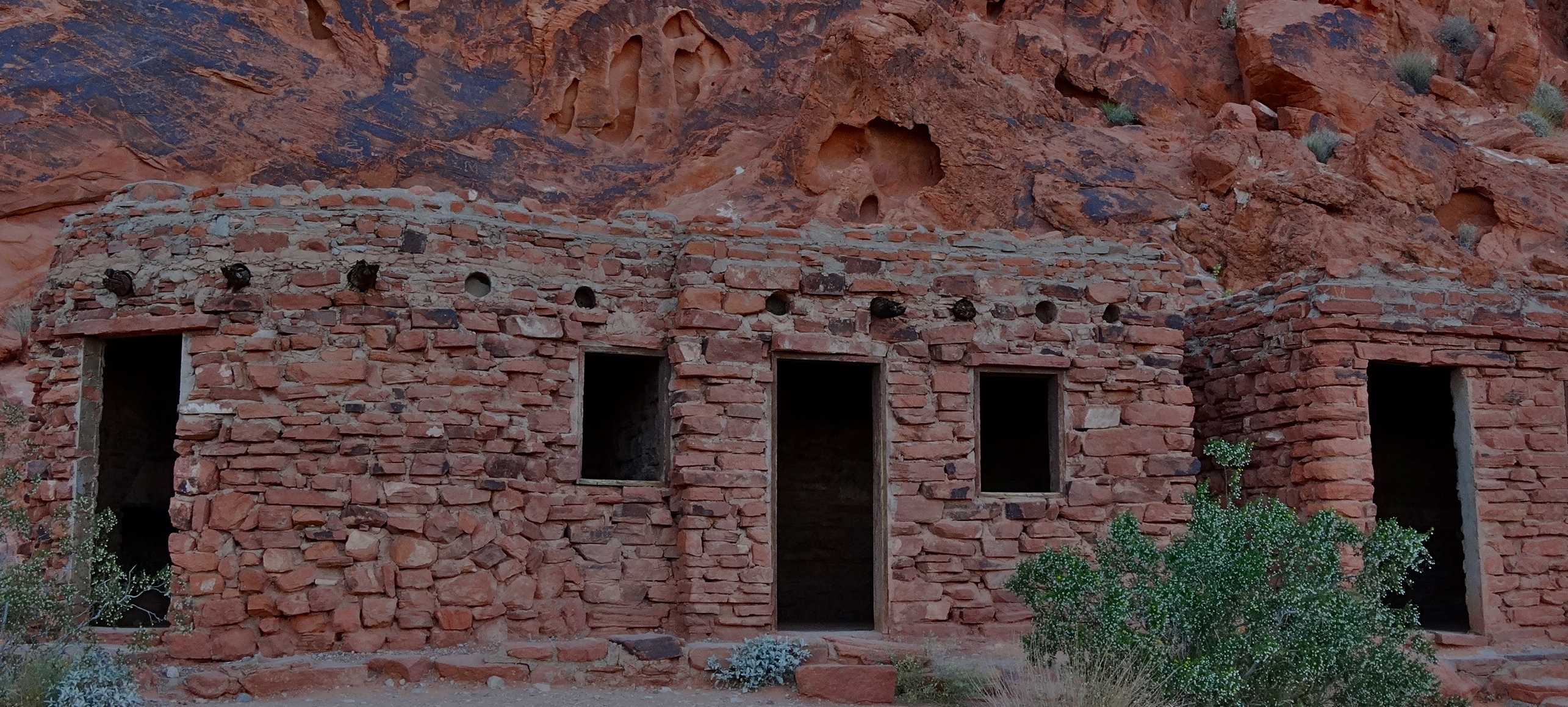
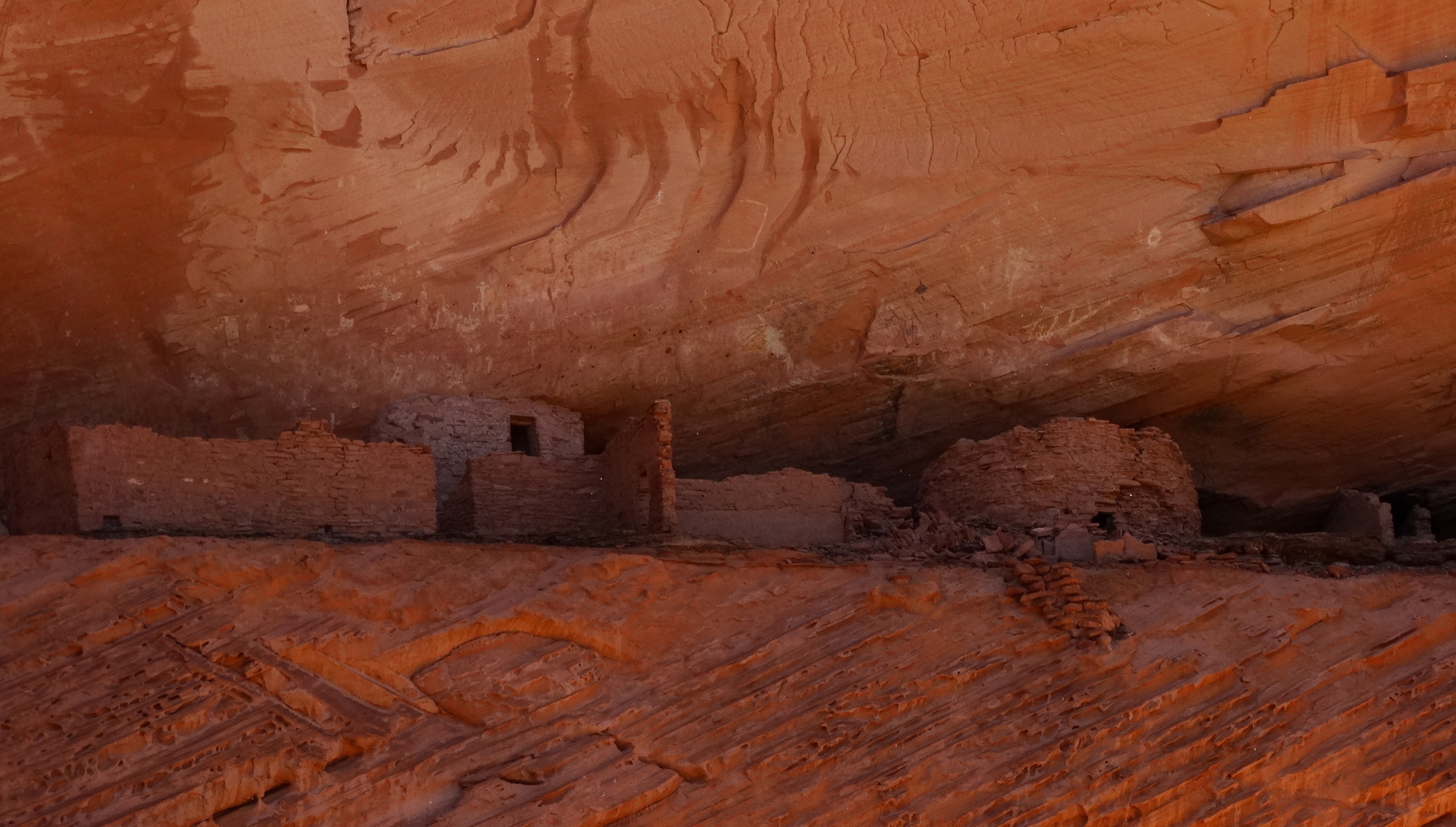
These ruins were occupied by the Ancestral Puebloan people dated back to 1250-1300. It is thought that up to 150 people were living here at its peak. The reason for their departure is unknown.

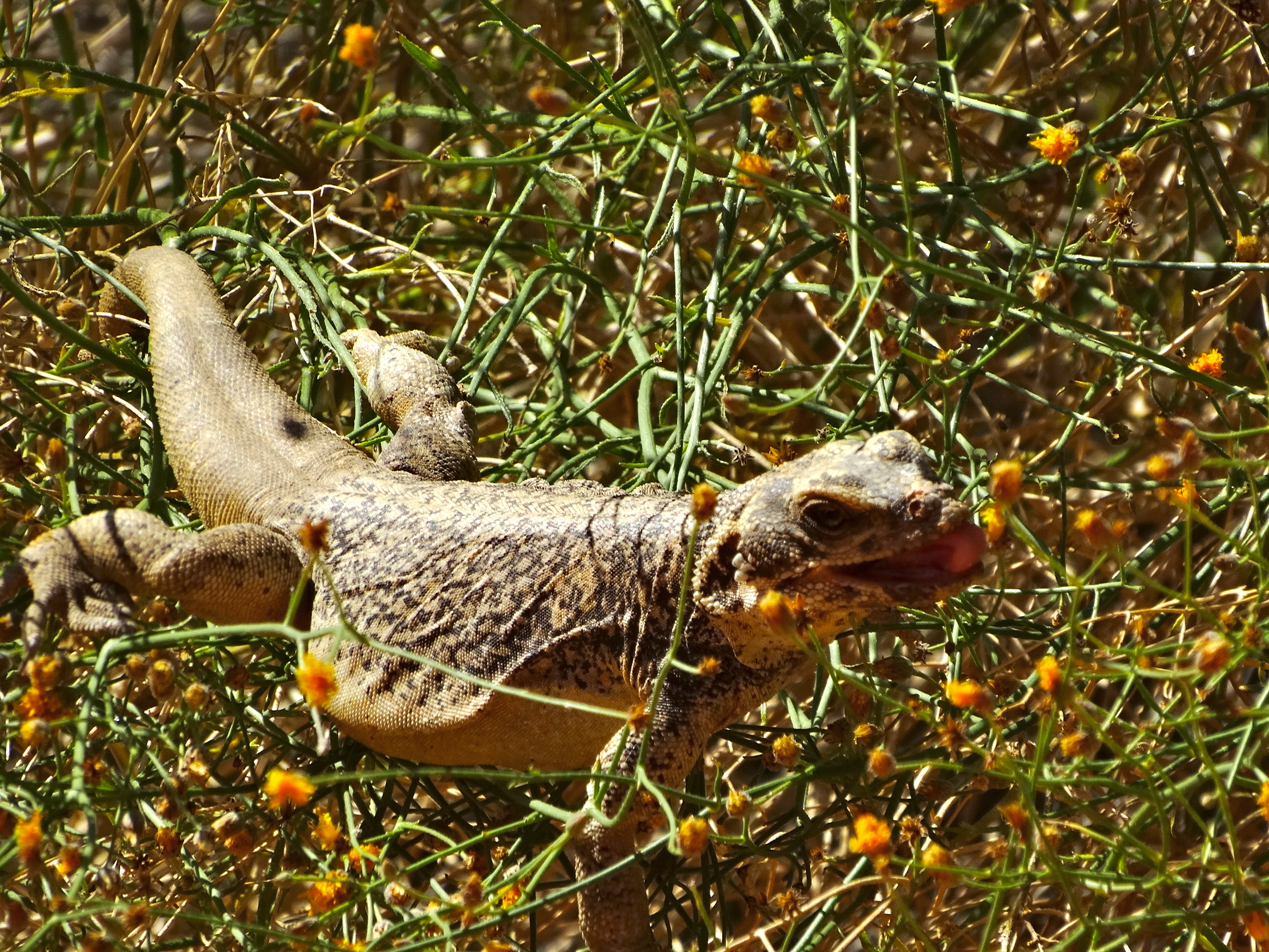
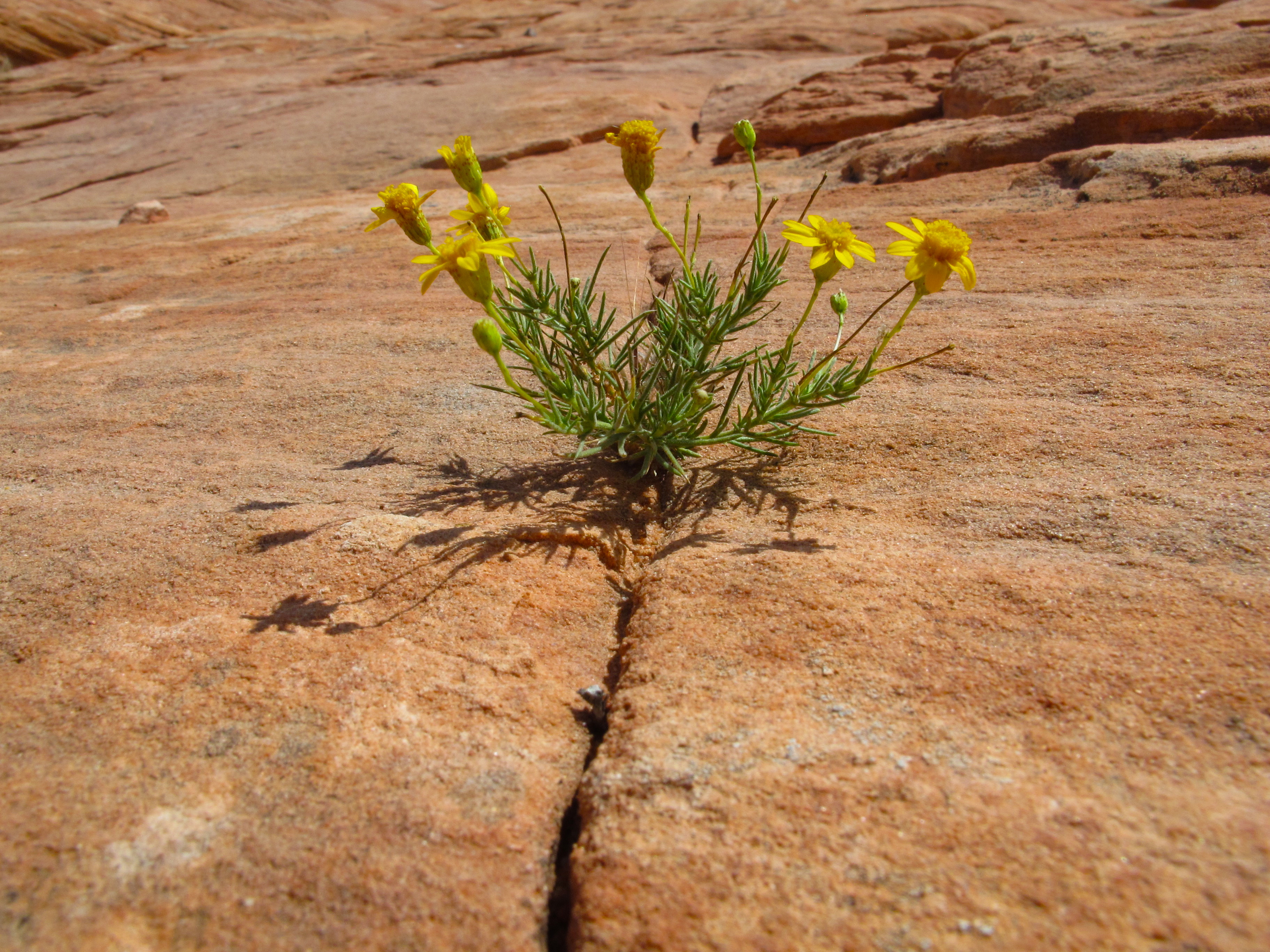
Hiking here is a beautiful and solitary affair. We shared the trail with only one other person. It was nice to be away from the crowds in Lake Powell and enjoy the peace within the canyons.

View from Canyon Overlook trail.
Canyon View Trail
View of the ancient aspen forest from the Aspen Trail.

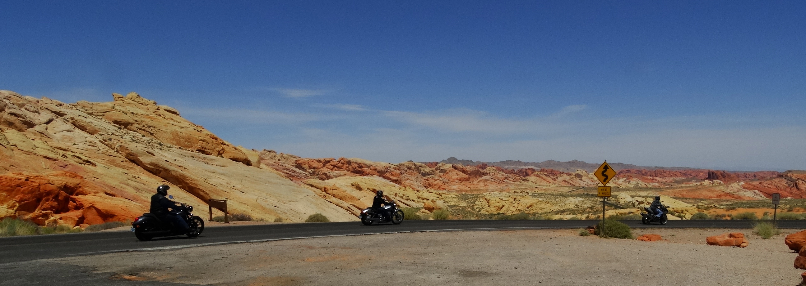
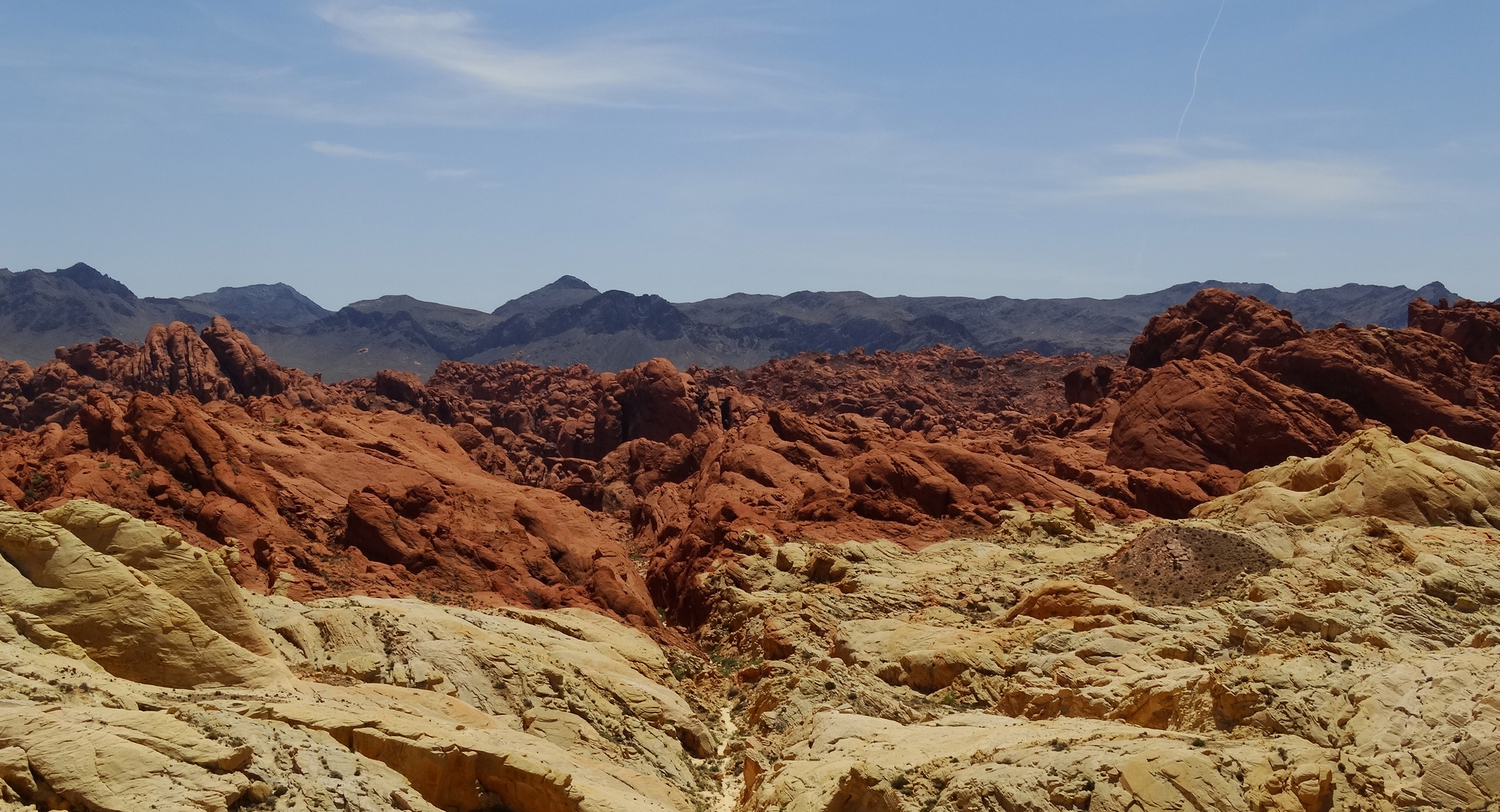
After our morning hike in Navajo National Monument we drove to Canyon de Chelley National Monument. We took in the views from the lookout points along the canyon rim as we drove to our next camp site at Spider Rock Campground.

Valley of Canyon de Chelly

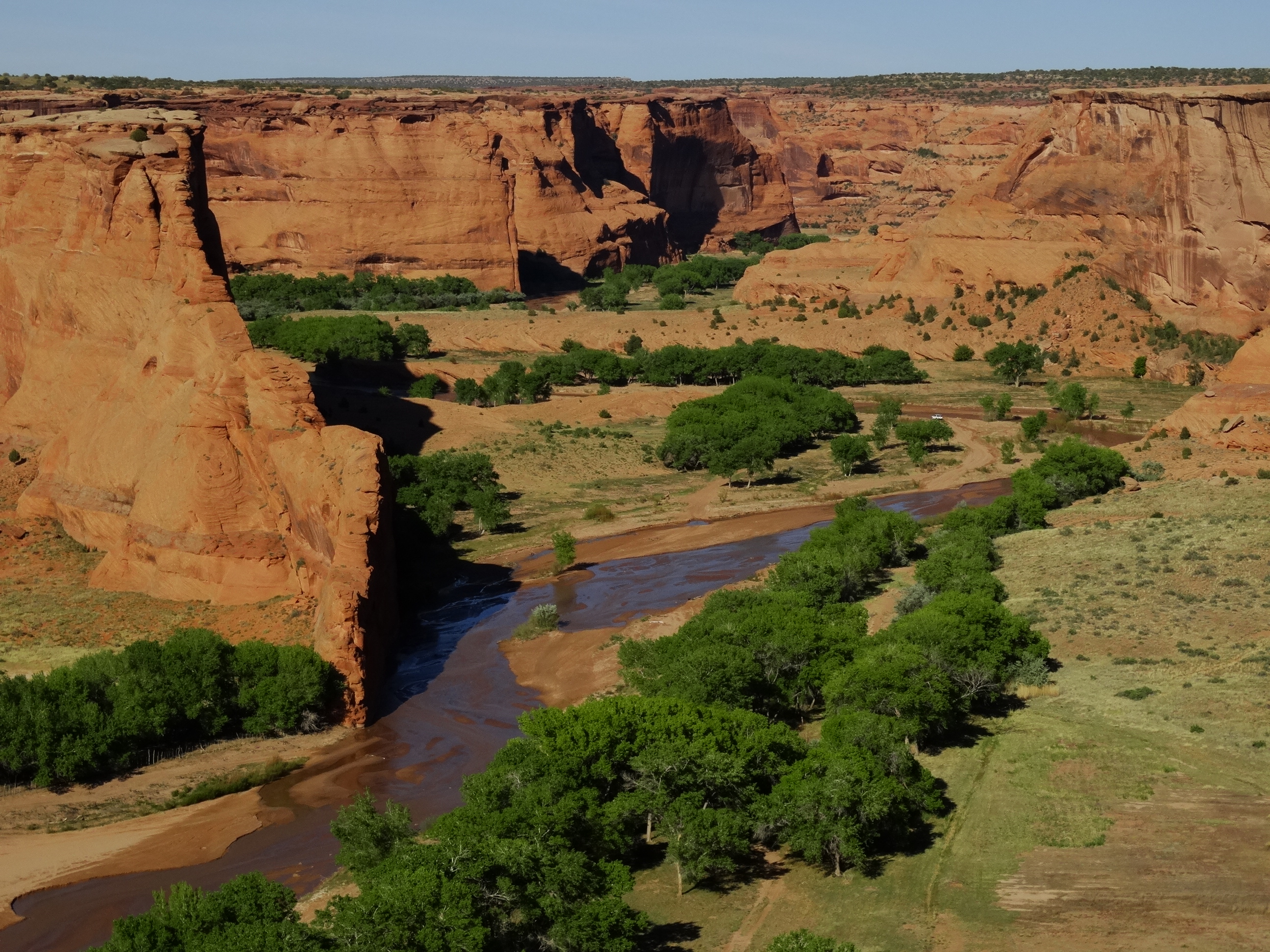
Spider Rock is a family owned campground at the far end of South Rim Drive, 10 miles south of the visitor center. I had my first taste of fry bread made by Howard’s grandchildren (Howard is the owner). The fry bread was ok but then again, I’m not a huge fan of bread of any kind so you should try it for yourself if you have a chance. The facilities are quite rustic but there are bathrooms and solar heated showers available.

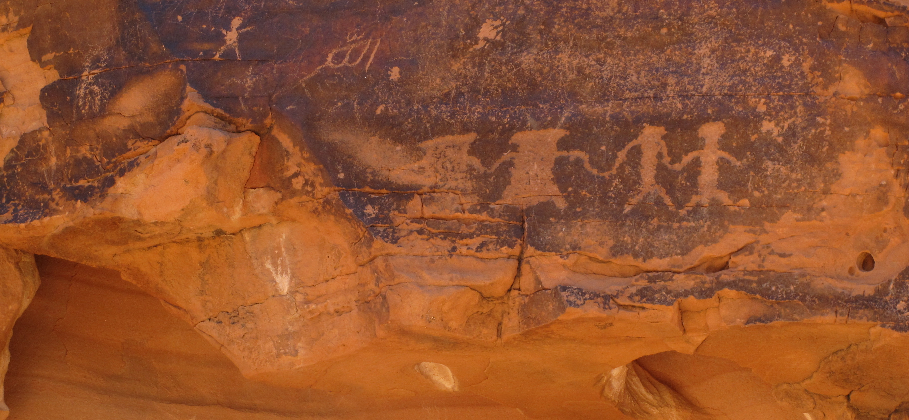
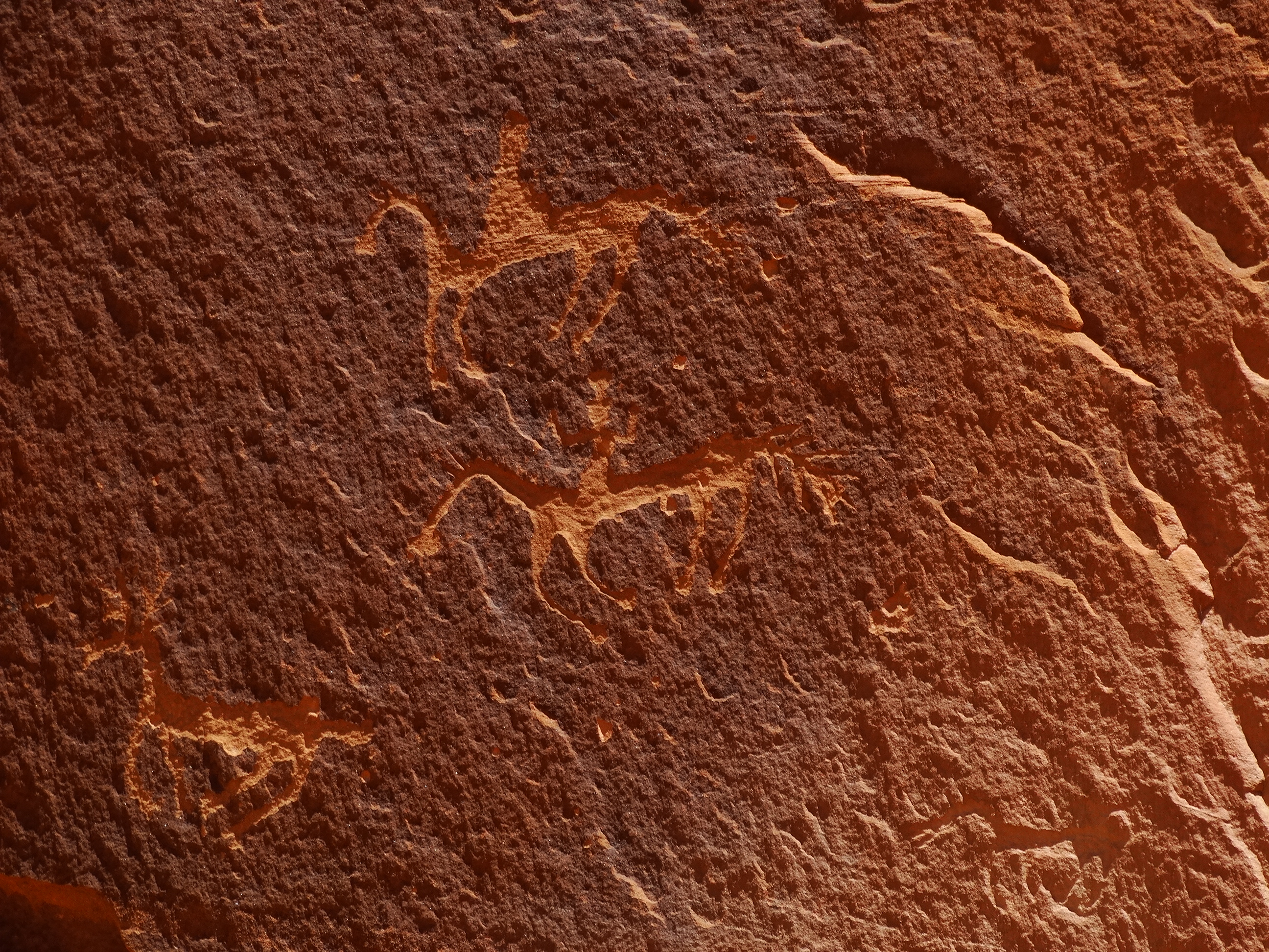
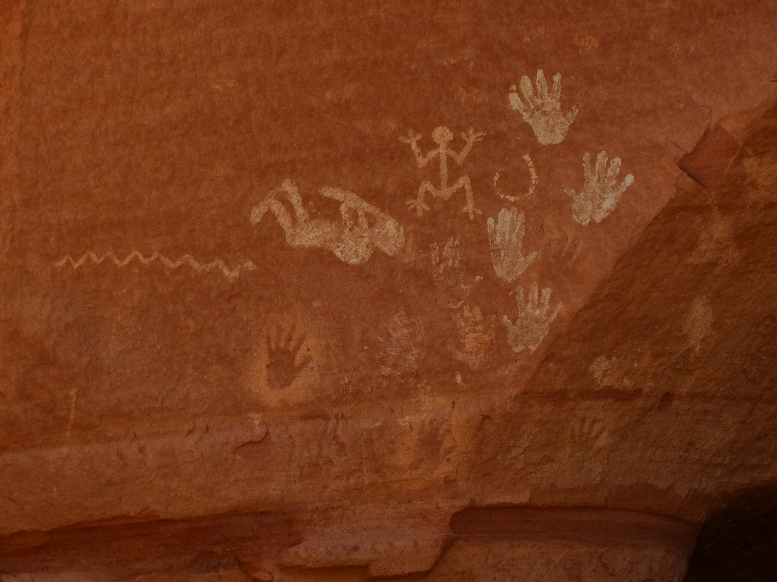
We hired a Navajo guide to take us on a tour through the canyon on the following day. All visitors into the canyon must be accompanied by a licensed Navajo guide. Tully Yaazi, our guide, grew up in the canyons and he still farms a small ranch in the canyon. He shared with us stories about life in the canyon as he drove us through the canyon to get a closer view of the ruins and the petroglyphs and pictoglyphs that could be found throughout.

"First Ruin"
“First Ruin”

DSC01290


DSC01284

DSC01317
White House ruin


Antelope ruins named for the pictographs of antelope at this site.
DSC01365
Antelope pictographs that gave Antelope Ruins its name.


DSC01392
Named “Newspaper Rock” because different styles of petroglyphs are present spanning hundreds of years.

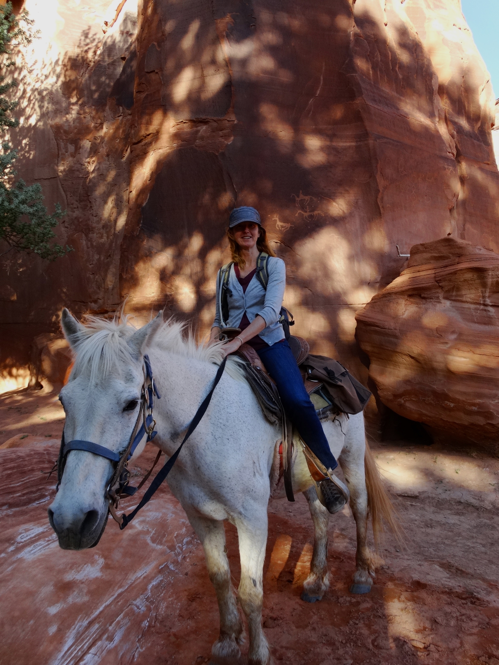
After our tour with Tully I had just enough time to take another tour of the canyon but this time on a horse! I was lucky enough to ride this beautiful mustang named Sherman. It was basically a private tour just to “First Ruin”. Riding through the canyon on horseback was a wonderfully peaceful way to experience the canyon.

Sherman and me exploring Canyon de Chelly together.

Our next stop on our Navajo Nation tour was Monument Valley. I have looked forward to this day for many years! I loved driving through the valley and photographing these massive monoliths. If we come back through we will definitely stay in one of the campsites within the valley to have it to ourselves rather than sharing the roads with a couple hundred other tourists. DSC01434

DSC01480

DSC01453

DSC01438


DSC01507
Our last view of the valley.

Glen Canyon Dam – Page, Arizona

We arrived in Page sometime after dark which makes locating a camp site an interesting affair. It was pretty windy out and we really wanted to find a campground that had some trees for protection. We drove through Wahweap RV park where there were a few scrawny trees but nothing large enough to protect the roof top tent. It didn’t matter since there were not any open camp sites. We ended up staying at Lone Rock Beach along Lake Powell.

No protection from the wind anywhere here!

The location was beautiful but the night was miserable with all of the noise from our rainfly rattling from the wind. This is our only complaint about this tent’s design is that there is no way to keep the rainfly taught so on windy nights we hear it hitting the tent all night.

Beautiful views at our campsite.
Early morning kayaker near our campsite.

The next morning we awoke to wind and rain. Once the rain stopped we made it over to Horseshoe Bend on the way into Page, AZ. Horseshoe Bend is a very popular place for tourists and a photographer’s dream.IMG_0862

The hike is an easy 3/4 miles long making it an easy stop on your way to or from Page. The views from this lookout which is 1,000 feet above the Colorado River are magnificent! It was still really windy making it hard to keep your eyes open with all of the sand whipping around in the air. This is one place where you want to keep your eyes open to make sure you see where you’re next step will take you! The wind gusts were so strong that most people were lying down at the cliff’s edge to get their photo.

Darryl reaching over the cliff's edge to get the shot.
Darryl reaching over the cliff’s edge to get the shot.

We spent the rest of the day catching up with our family and scheduling a tour company to take us to Upper Antelope Canyon the next day. We drove around the area and then eventually ended up finding a hotel for the evening given the weather. It was nice to be warm and out of the wind for the evening!

The next day was much nicer. We had breakfast again at the Ranch House Grill. This place was packed both days that we went there and it was for good reason. Our tour of Antelope Canyon wasn’t until the afternoon which left us enough time to go see the Glen Canyon Dam. We went to the visitor center and took our time going through their exhibits on the Dam. There was a tour of the dam for $5 each. Although we were pretty disappointed with the tour at the Hoover Dam which was $15 each, I am a sucker for going on tours and giving them a chance. My experience has been that price doesn’t necessarily guarantee quality so I was eager to give this tour a chance and we were very happy with the decision.

This is Curtis, our awesome tour guide at Glen Canyon Dam. He's standing in front of a turbine from one of the generators.
This is Curtis, our awesome tour guide at Glen Canyon Dam. He’s standing in front of an original turbine runner installed in 1965 and decommissioned in 2008.

Curtis was so enthusiastic about the dam and sharing his knowledge with us. He was able to answer specific questions that we had and made this tour probably one of the best tours we’ve been on yet during our travels!

Generators inside Glen Canyon Dam. You can see one that is disassembled for maintenance work.
Lake Powell is the man-made lake created by Glen Canyon Dam. At the time that we visited it was only at 40% capacity, or 3,500 feet If it falls to below 3,490 feet then the power plant cannot operate. Although the area is in a drought, it’s interesting to see that they don’t seem too concerned about water conservation given this message on one of their displays.DSC01057
We were also surprised to see what looked to be a putting green behind the dam! When the power plant was first put into operation, they realized that something needed to be done to control the vibrations in the penstocks caused from the water dropping 400-500 feet through them. Their solution was to cover them with dirt but they had to prevent the dirt from blowing away so they planted the grass. Pretty clever!
DEW Dam greens


DSC01085


DEW landscapeAfter our dam tour we had to catch our next tour to Upper Antelope Canyon. This is a slot canyon on the Navajo Nation that is famous for it’s beautiful red navajo sandstone cliffs that have been shaped by water and sand. The slot canyon is extremely narrow and maybe about 100 yards long. The place is beautiful but extremely crowded! We knew this going into the tour after reading the reviews on Tripadvisor. We still wanted to see the slots and have a chance to experience the beauty ourselves along with all of the distractions that come along with this tour. I’m not going to recommend our tour company and I won’t complain either since our experience shows that all of the tour guides did the same annoying things. The guides would take our cameras to shoot their pre-formulated photos of “Lincoln” or “king kong” or any number of figures that one might be able to stretch your imagination to see in the slots. You aren’t allowed much time within the slot and they are constantly coaxing you through the canyon. You take the good with the bad. In my opinion, the good outweighed the bad. IMG_0931

IMG_0928


DSC01153


IMG_0917


DSC01097


We spent a little more time in Page enjoying the scenery.DSC01211

DEW landscape 2

DSC01199
Coal power plant operating on Navajo land just a few miles from Glen Canyon Dam.

DSC01198One last hike to see the hanging gardens and then we said good-bye to Page, AZ, Lake Powell and the Glen Canyon Dam.DSC01206


We bypassed Sin City for the Valley of Fire

We finally made it to the Valley of Fire! It has been on our itinerary for many years as someplace that we wanted to visit while in Las Vegas. Unfortunately, we never had a car while in Las Vegas and we just didn’t make it a priority. Well, this time, we had our FJ and a tent so we could actually spend a few days exploring the area and it was definitely worth the stop.

We arrived late in the evening which makes waking up in the morning a great surprise since we never know how the scenery will look in the day light. The Valley of Fire lives up to its name. It’s all aglow with sandstone formations of varying shades of red. Over breakfast we were entertained by a family of sparrows whose home happened to be in our picnic area.

DSC00364
Insects for breakfast anyone?!

We camped at Atlatl Rock campground while there. It’s a very nice campground with flush toilets and showers. Showers are always a real plus and flush toilets…don’t get me started! Many of the bathroom facilities at our state and national park campgrounds are the bare minimum.

Our first hike of the day was along “Mouse Tank” trail named after a South Paiute Indian named “little mouse”. He hid in this area after being accused of killing two prospectors which I’m sure is just one side of the story. There is a natural basin, or “mouse tank”, at the trail’s end where rain water can be found giving the trail its name.  There were a number of petroglyphs along the trail made by the Basket Maker people and the Anasazi Pueblo Farmers.

IMG_0647
These were very simple petroglyph designs.
DSC00399
The big horned sheep depicted here were the only traces of big horned sheep that we have seen all throughout our desert travels. 

DSC00391

We saw two other couples on the trail and one of the men couldn’t keep his hands off the petroglyphs. It was driving me nuts that this guy had no respect for the artifacts and was either completely unaware or didn’t care that his actions were degrading these artifacts. We think our small actions have no impact but look at the aggregate effect we’ve had on this land and it’s devastating.

Now onto something much more entertaining, the chuckwalla. Before this trip, I thought that chuckwallas were cute furry little creatures. I couldn’t be more wrong.

DSC00385
Chuckwalla basking in the sun.

These lizards were all throughout the Valley of Fire and were happy to pose for me whenever I came across them even when they were busy eating their lunch.

Lunchtime
Lunchtime

The whole valley seemed to be in bloom. Darryl was patient with me as I lagged behind taking photograph after photograph of the beautiful flowers. I couldn’t get over the beauty of these displays of color in the parched desert. The desert may look uninviting and without life but if you take the time to really explore it, you’ll be rewarded for the effort.

DSC00432
I loved how this plant’s stems mirrored the lines in the sandstone.

This was my favorite flower. It’s a paper-bag bush. These pods are tissue paper thin and contain the plant’s seeds. The bags are carried away by the winds to scatter the seeds.

DSC00415
Paper-bag bush or Bladder Sage
IMG_0659
Minimalist survival

I chatted with this woman from Las Vegas about her bike. Darryl and I have our motorcycle licenses but we put off the motorcycle purchases until after the trip. I love these larger bikes so every time I have a chance to chat with a woman who is on a bike I take the opportunity to find out what she thinks of her choice. This woman has only had her bike for 8 months and feels that she’s outgrown it. She wants a larger bike for the stability on the road, especially on windy days.

DSC00436
Although born and raised in Las Vegas, this is her first time in Valley of Fire and she’s loving it!
DSC00437
Out on a Sunday ride through Valley of Fire.

The sandstone looked like pulled taffy along Rainbow Vista Trail. We didn’t have to walk far to see these beautiful features. This particular trail was only a mile long. The other trails were just as short or shorter making this a very accessible park for people of all ages and abilities. Although it’s a small park, we never felt like it was crowded. On this particular trail we saw only 3 other people.

IMG_0669

DSC00620

DSC00616
The colors across the landscape were gorgeous!
IMG_0653
A self portrait

We moved to another campsite within Atlatl Campground where we watched this beauty during breakfast the following morning.

DSC00586

These cabins were built by the Civilian Conservation Corps (CCC) in 1936 just after the park was first established. They were built as shelter for hikers and campers that visited the park. Now they are preserved as a reminder of the CCC’s contribution to our park systems.

Made of native sandstone by the CCC.

Our second day at the park was spent mostly driving around admiring the beauty. This was taken at Rainbow Vista look-out point.

Rainbow vista
Rainbow vista

I thought that it was very important that we get out and walk the short trail to see the petrified logs. I have no idea why petrified wood is such a fascination for me but it is and it has been since I was a child. The trail was only 0.3 of a mile and this was my reward.

Petrified log partially uncovered.

I think that I was expecting more and Darryl got a good laugh at the my underwhelming response. I spent a good five minutes trying to find the best angle to photograph this artifact which was surrounded by a chain link fence. I finally gave in to the realization that there was no good angle. So then I set my sights on the other chain link fences off in the distance since I was absolutely confident that they must contain something grander! They didn’t.

We drove by “Lone Rock” which was a very large block of sandstone. I think that the marketing people were really stretching their creative juices on this one. “Elephant Rock” was a bit more interesting.

DSC00642
Elephant Rock

Sometimes you should just let nature speak for itself. This was our lovely sunset view near the petrified logs.

Sunset near the petrified logs.