A close encounter with a gray whale!

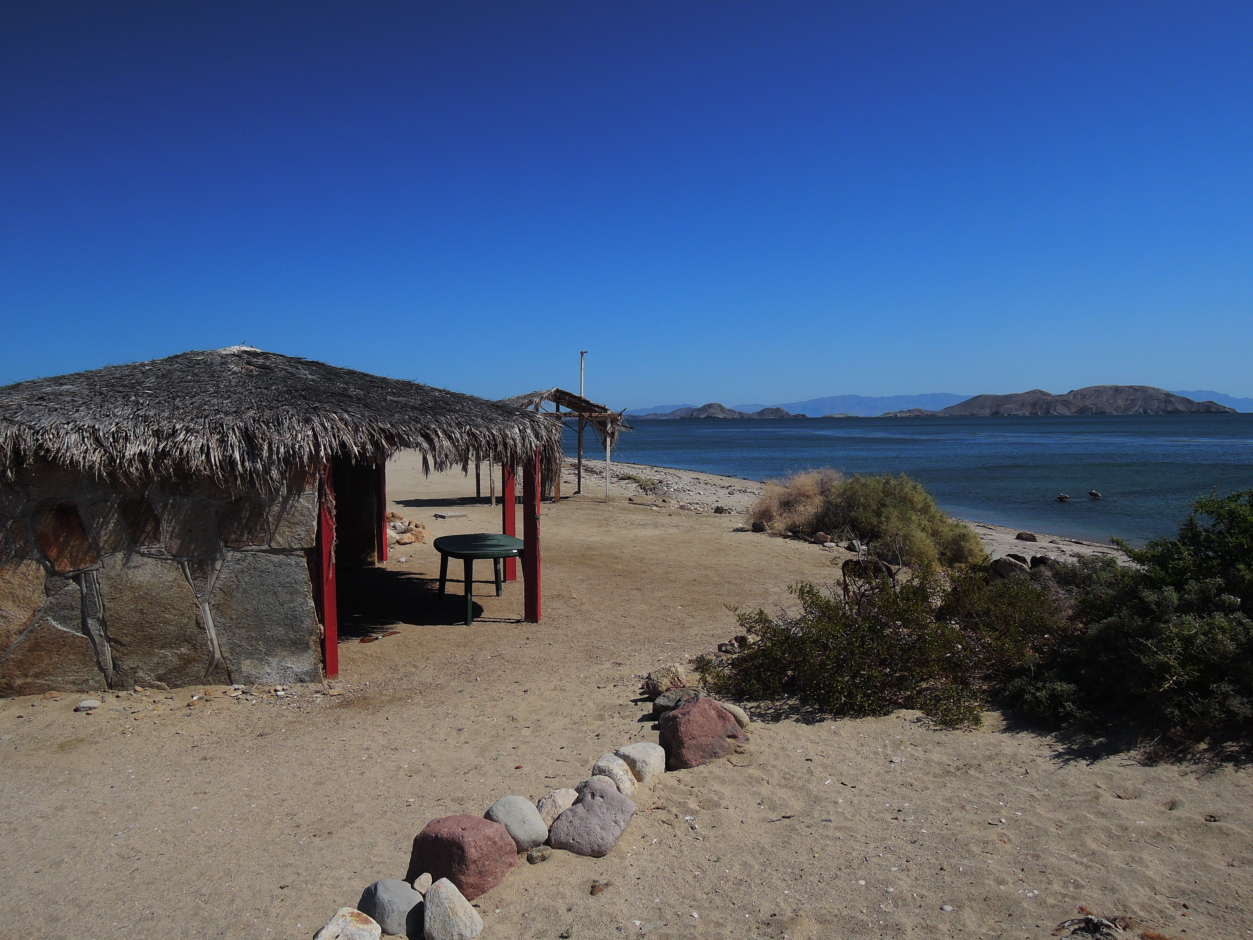
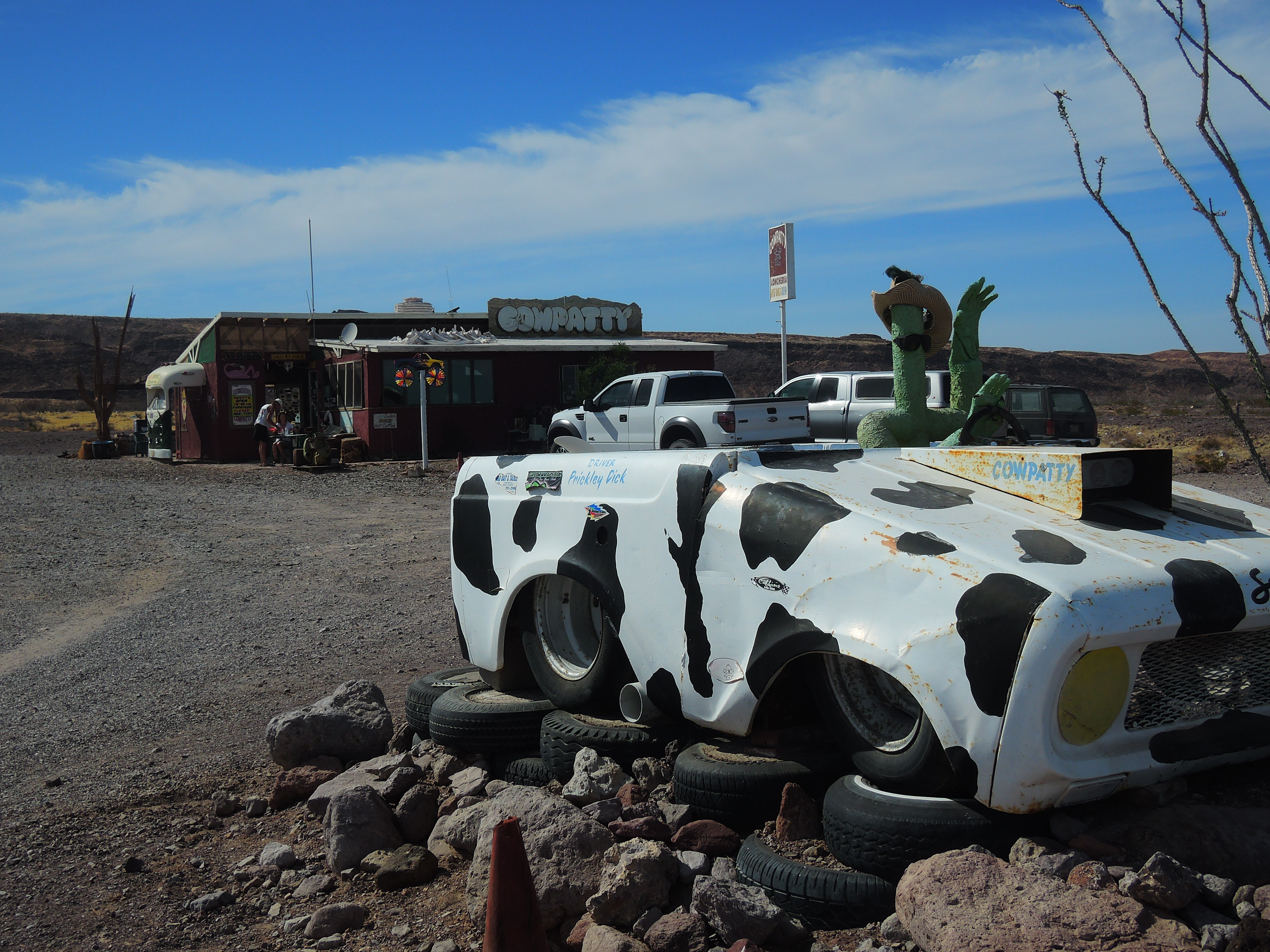
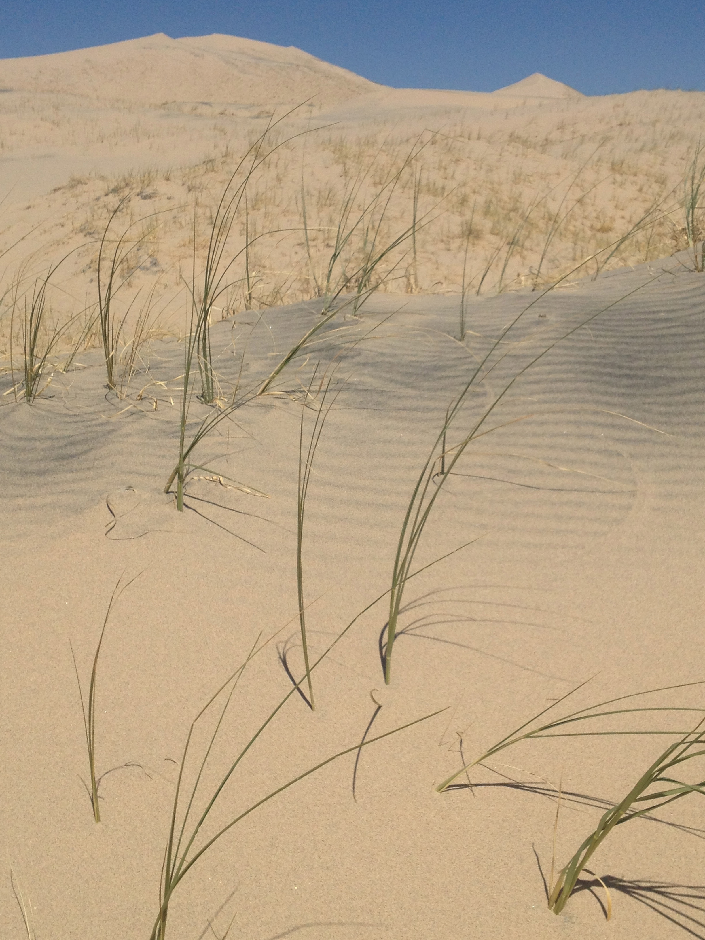
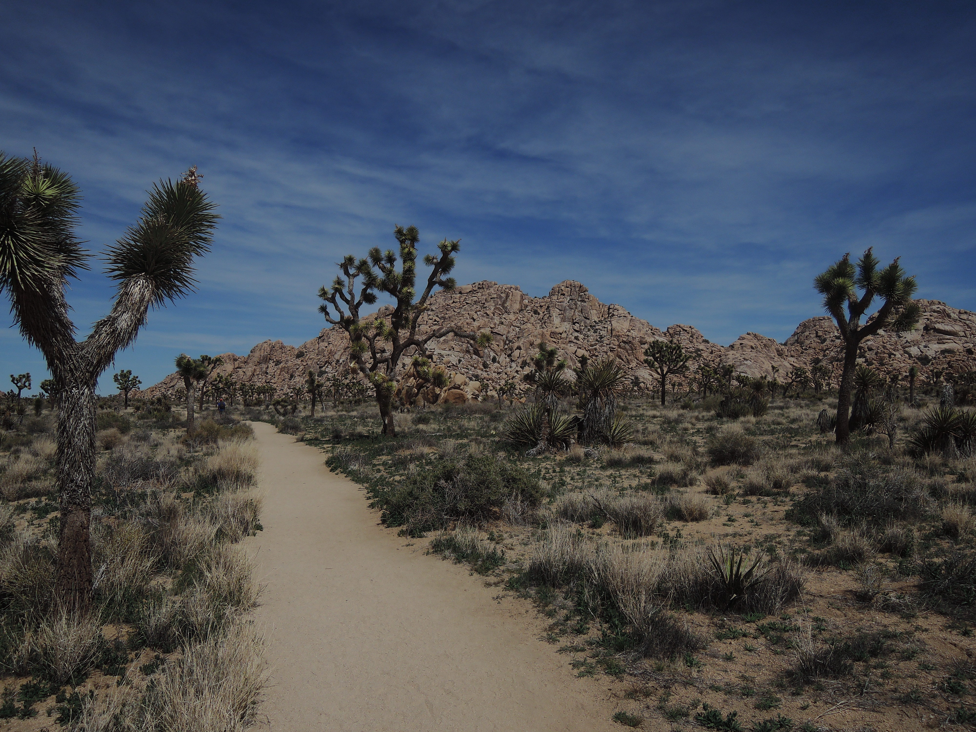
After our visit with Jenaro at Mission San Borja we continued along the dirt road out to Rosarito. There was even a big official looking sign pointing the way for us!

Only road sign for the next 25 miles of intersecting dirt roads.

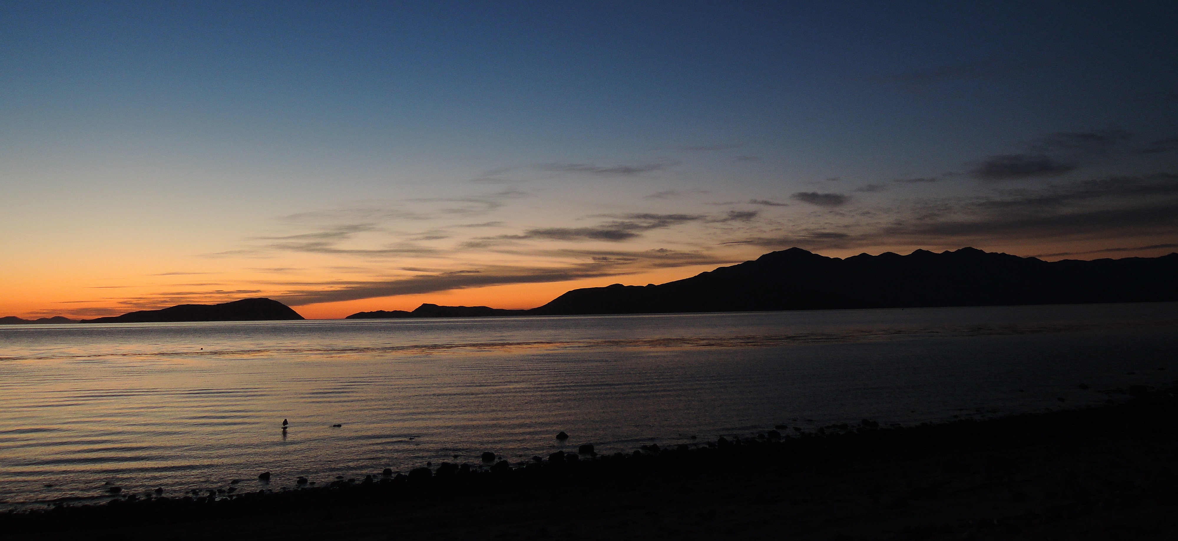
From there we headed south into the state of Baja Sur at Guerrero Negro. The whale watching was our destination! We came to Baja specifically for the whale watching during the months of January through March. This is the time when the gray whales breed and have their young at the lagoons from Scammonds in Guerrero Negro down to Magdalena Bay. We were really excited about this leg of our trip.

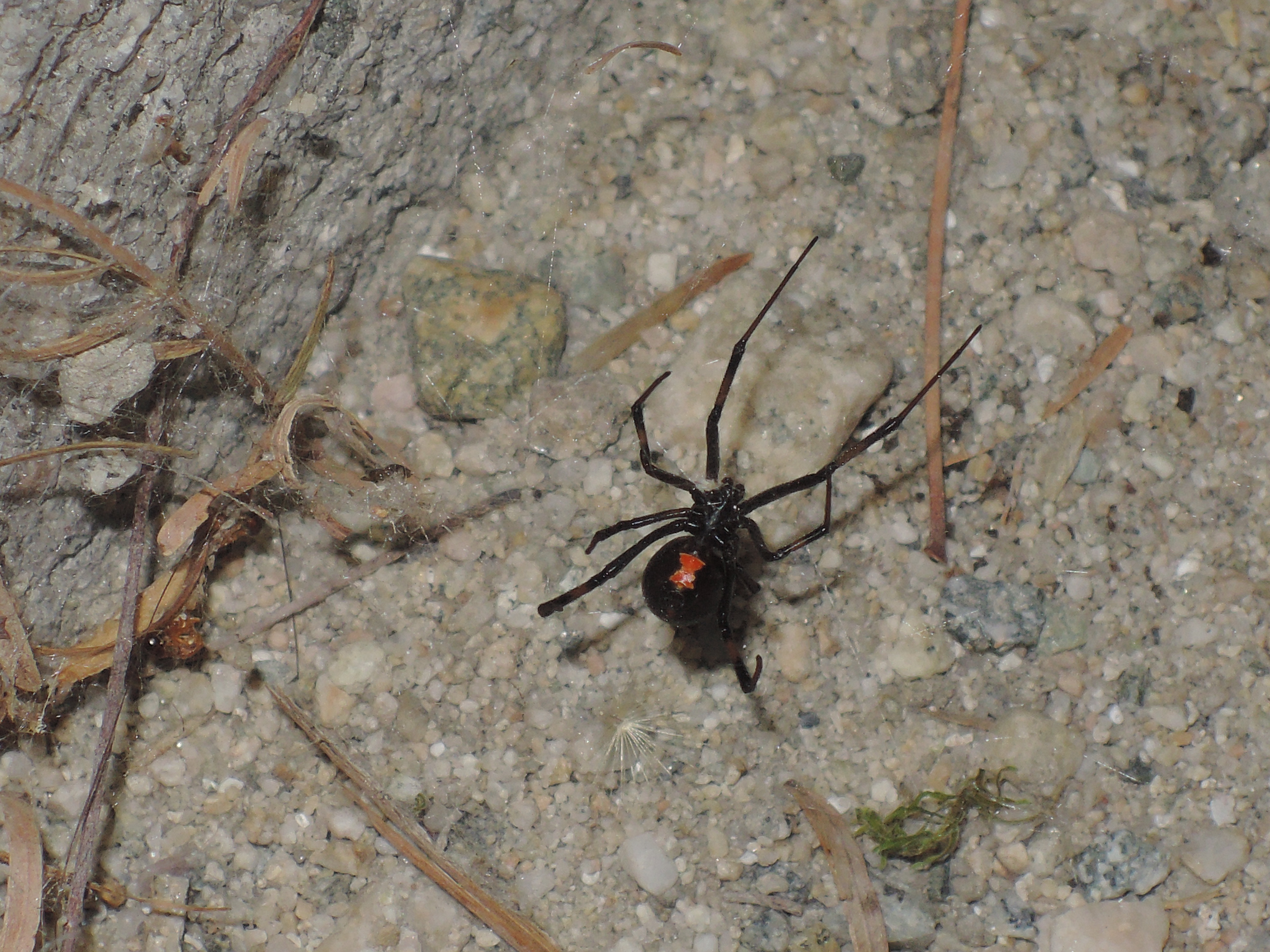
As we approached the state border crossing, there was a military checkpoint, an agricultural checkpoint and then another to check our papers. The first checkpoint was only interested in where we came from and where we were going. The next was the agricultural inspection. I fessed up to having a mango and an apple but they didn’t seem to care about such trivial things. We paid our 20 pesos for the fumigation. This process required us to drive our FJ over a grate with vapor rising out of it. We didn’t ask what was in the vapor and I’m not sure that I really want to know the answer. We heard that if we didn’t have our papers in order for the next check point then we might be turned away back to the border. We didn’t see anyone when we arrived so we kept on driving. Now to see the whales!

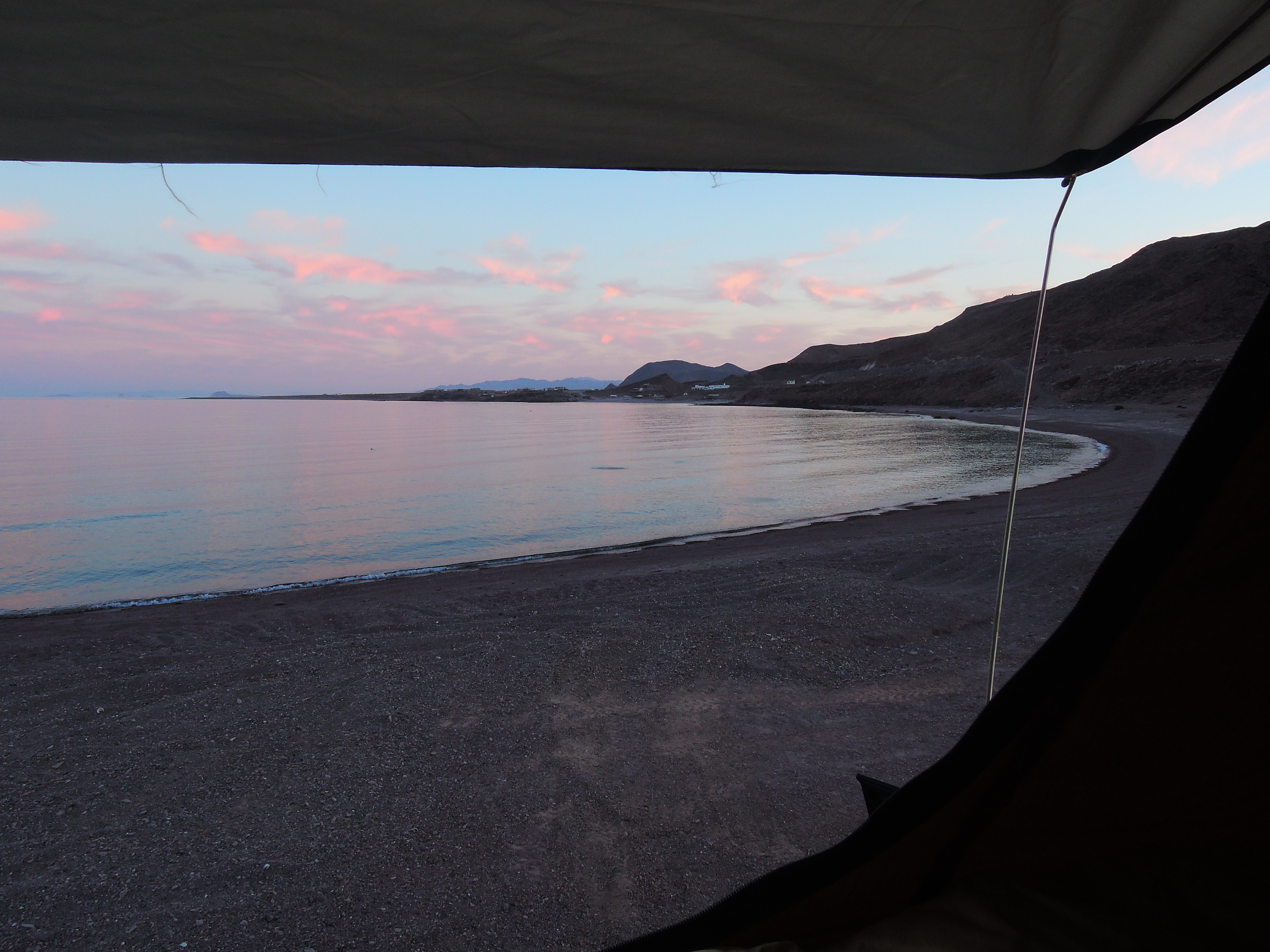
Our campground in Guerrero Negro was the Malarrimo RV Park. They also had a restaurant so we splurged on dinner. We had an ok meal for USD$35 total, which is relatively expensive for Baja. Our campsite was in the parking lot behind the restaurant. It looked like they didn’t bother to open the main camping lot this year due to the lack of tourists. We were hoping to go on a whale watching tour the following day but when we arrived we were told that they wouldn’t be going out because of the wind. We were hopeful that the wind might die down the next day so we stayed and completed a few errands while we waited. With laundry and grocery shopping done we took a walk along the bird sanctuary.

Entrance to Guerrero Negro's bird sanctuary.
Entrance to Guerrero Negro’s bird sanctuary.

The pelicans put on an excellent diving show for us. About 10 pelicans showed up from all different directions as if on queue. They started dive-bombing into the waters one after the other, practically on top of each other, then they would fly a few feet down the estuary and do the same thing. They continued in this manner for about 15 minutes making their way to the end of the estuary.Pelicant.jpeg

That evening, the wind died down a bit so we were hopeful that the pangas would go out to the lagoons the next day. When we got up I headed straight over to the Malarrimo Whale Watching tour office and we received the good news! They would take us out onto the lagoons in about an hour!!!

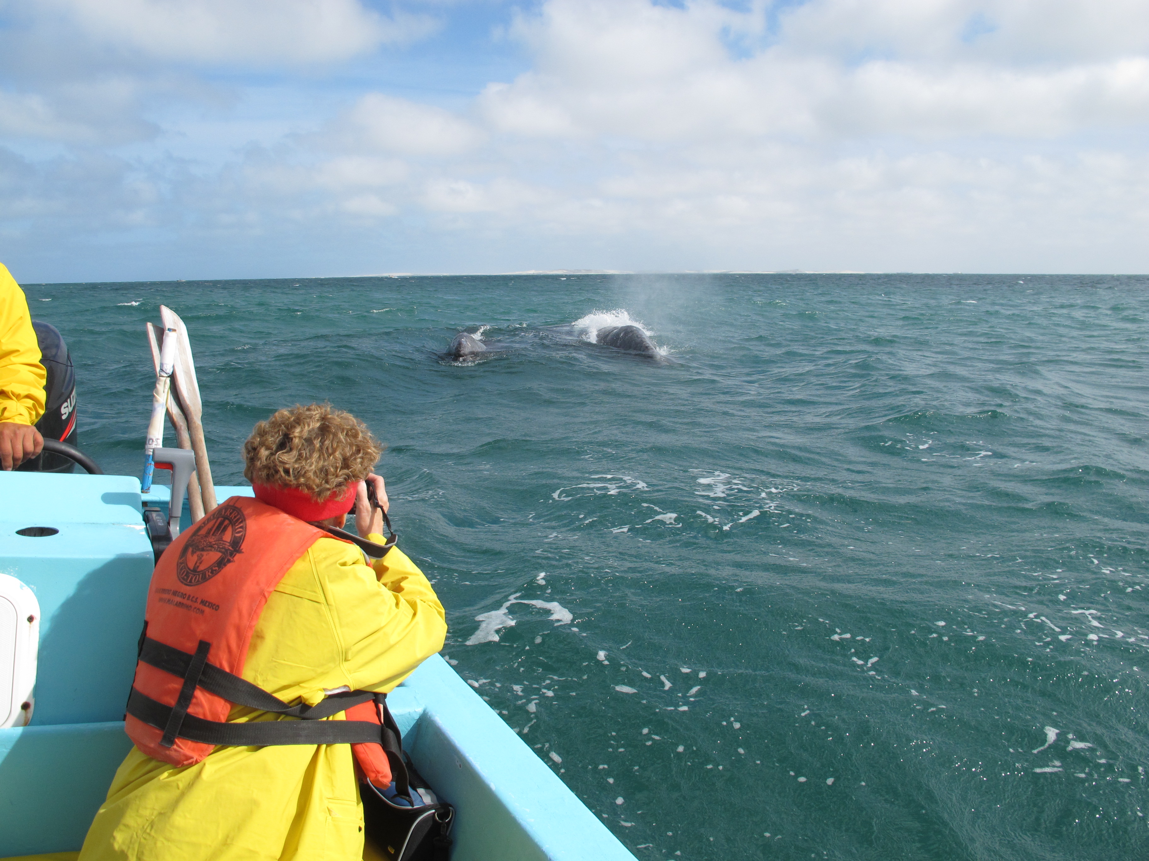
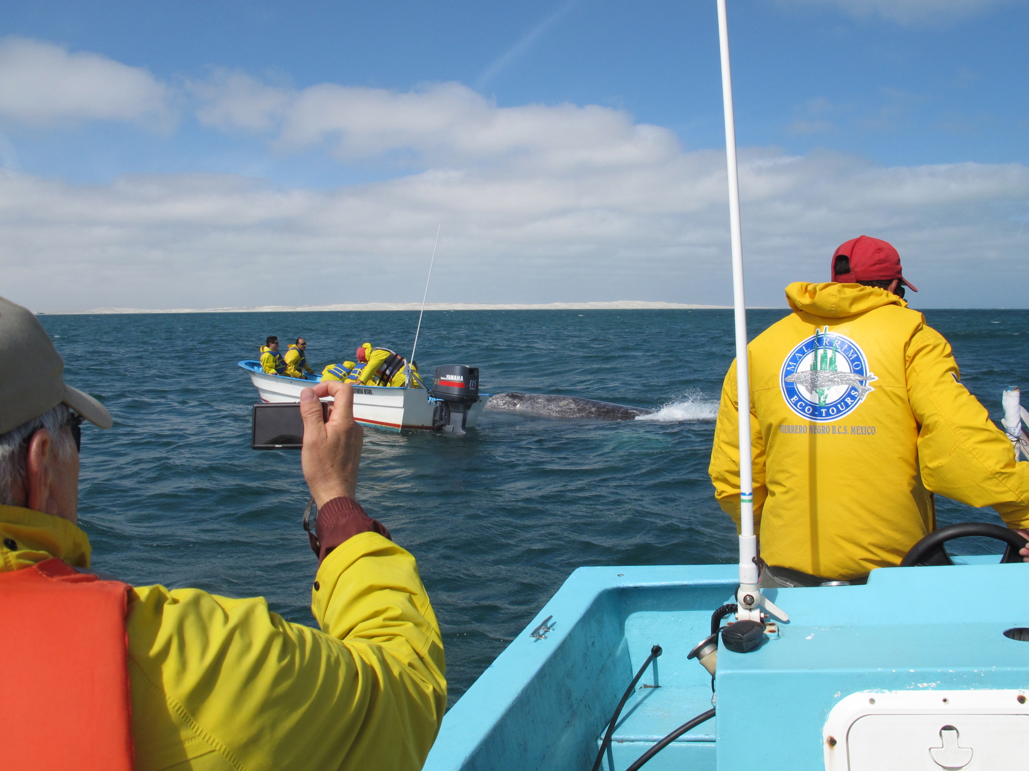
There would be only one other couple on the tour, Lynn & Ed. This was great news since we wouldn’t have to look over a bunch of people to see the whales. Lucien was our tour guide who was with us only during the ride from the office out to the lagoons. He gave us a history of the town and its number one employer, the salt company, along with some information about the whales and migratory birds. Our awesome boat captain was Manan. He was an expert in finding the whales and putting us in a position where they would swim near us. The lagoons here are huge and hold the largest number of migrating whales. There were as many as 2,300 whales this season. They have had as many as 3,000 whales at these lagoons in the past.

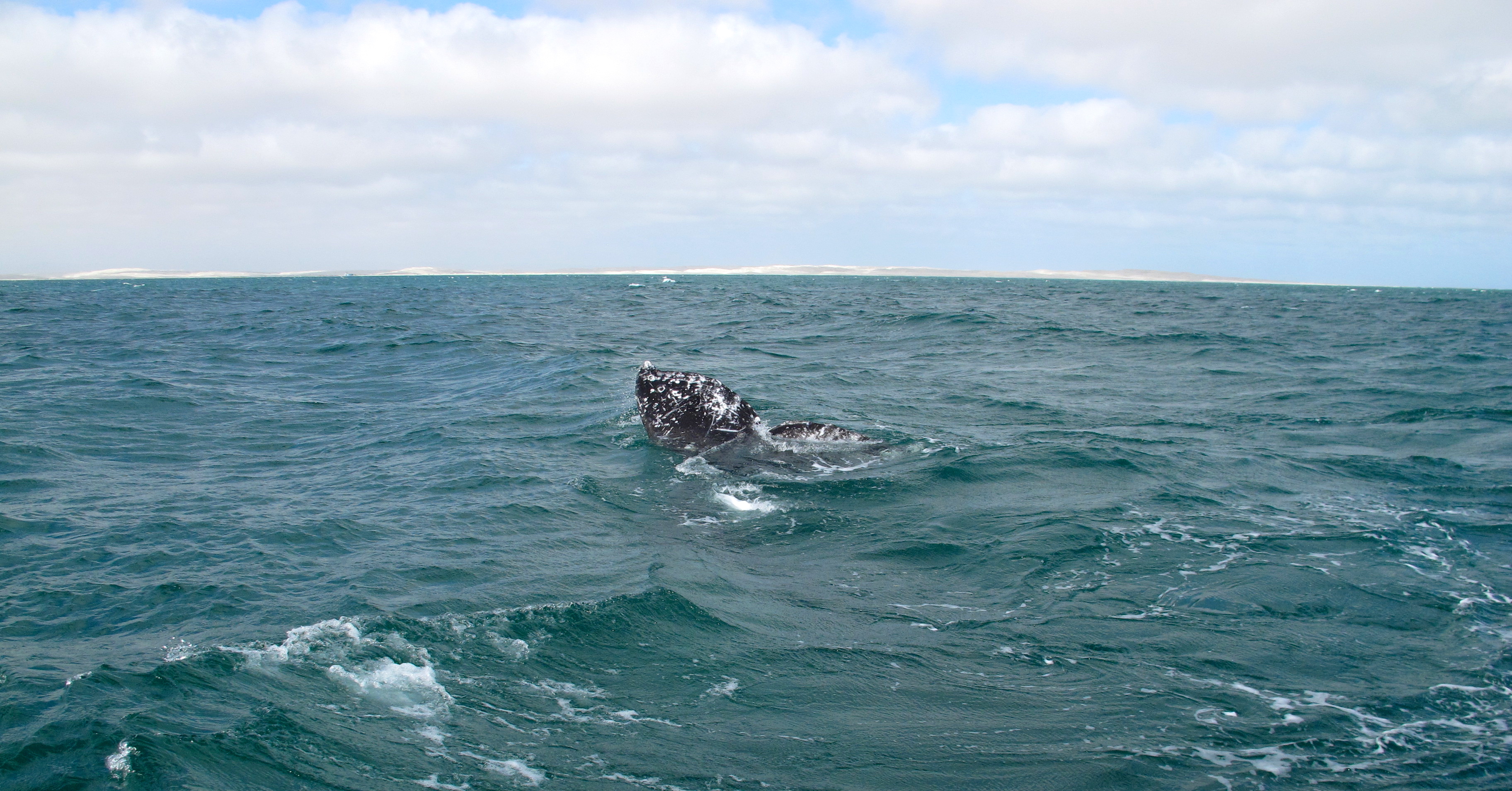
It was truly an amazing experience to see these giants as they observed us by telescoping. This is when they bring their head straight up out of the water as if to watch us.

She sees us!
She sees us!

At one point, the baby came sweeping by and lifted his tail up just enough for me to touch it!

A glancing touch of the baby's tail.
A glancing touch of the baby’s tail.
Darryl was able to touch the baby but I just missed capturing the moment.

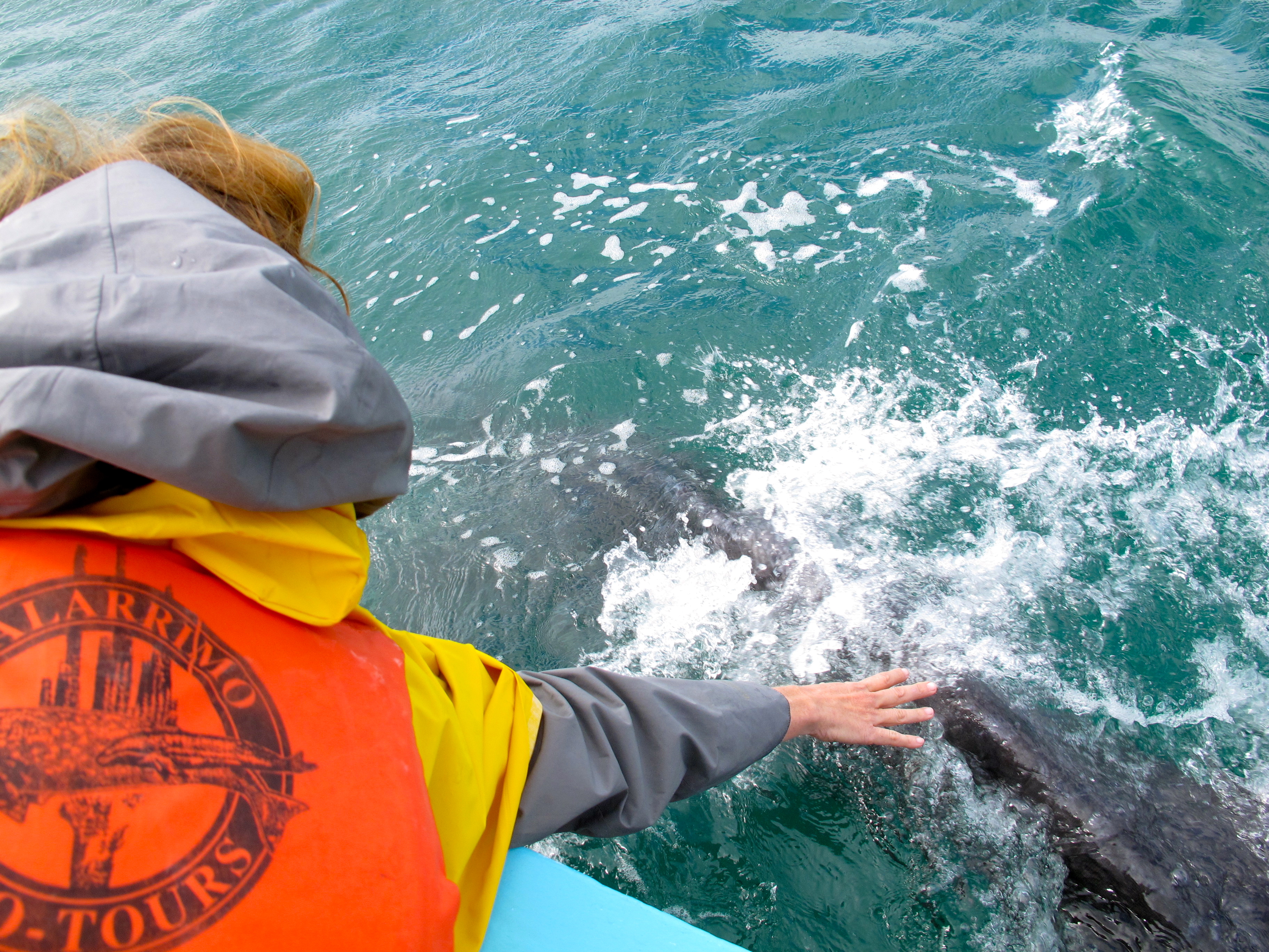
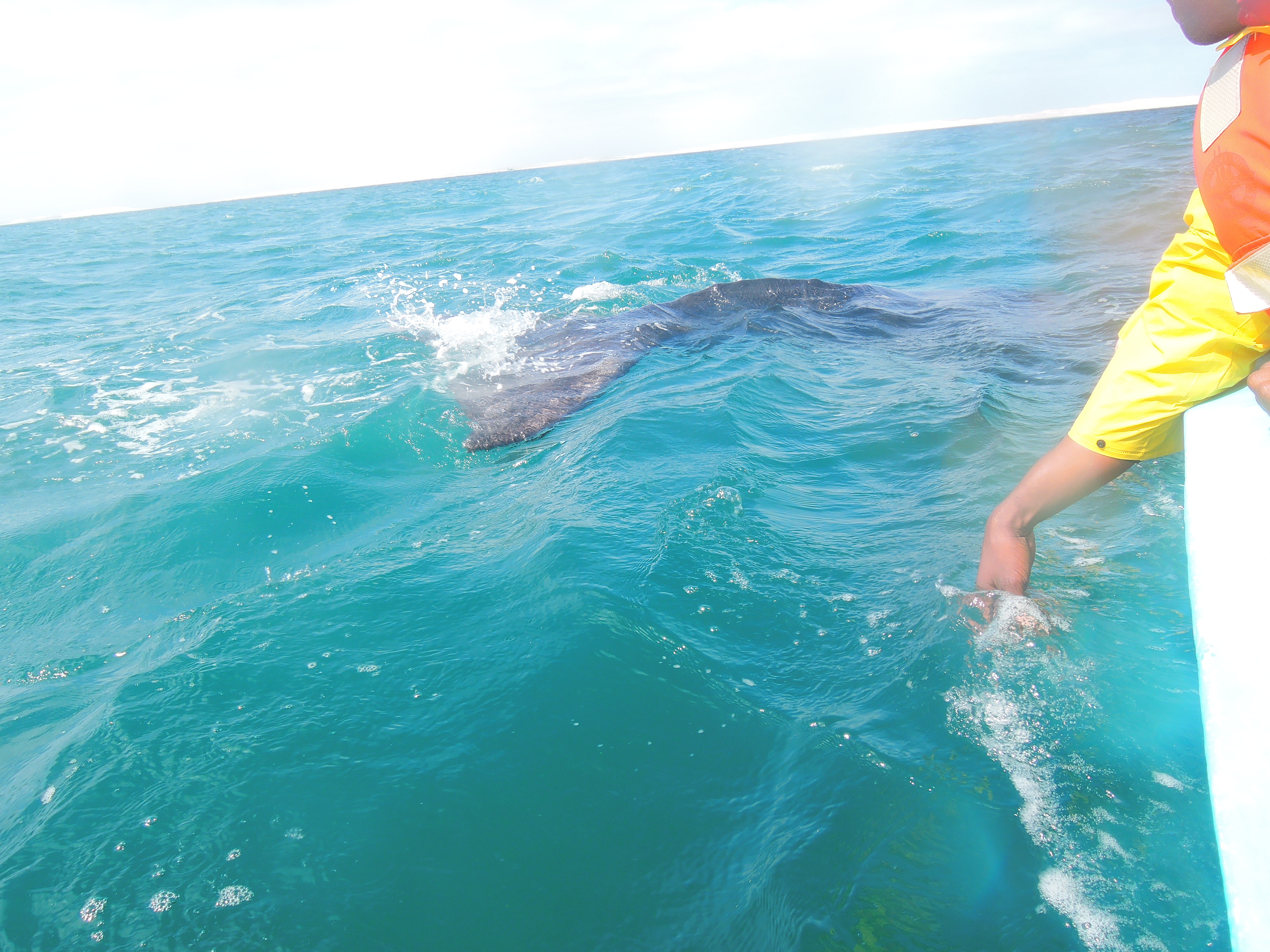
The baby knocked his back up against the bottom of the boat so gently as if saying hello! (I have a very good imagination.) It’s amazing to think how gentle these creatures are considering that the 3 month old calf could easily toss us over with very little effort. Its tail was velvety smooth and felt like soft rubber. When they are born, they weigh between 1,200 – 1,500 pounds and are over 16 feet long.

It was fascinating to watch their behavior. The mother would come up under its baby to help prop it up so it could see us and get closer to the boat. If you look closely in this photo, you’ll see the mother underneath and the darker shape is the baby on top of its mama.

Mama propping up her baby so it could get a better view of us.

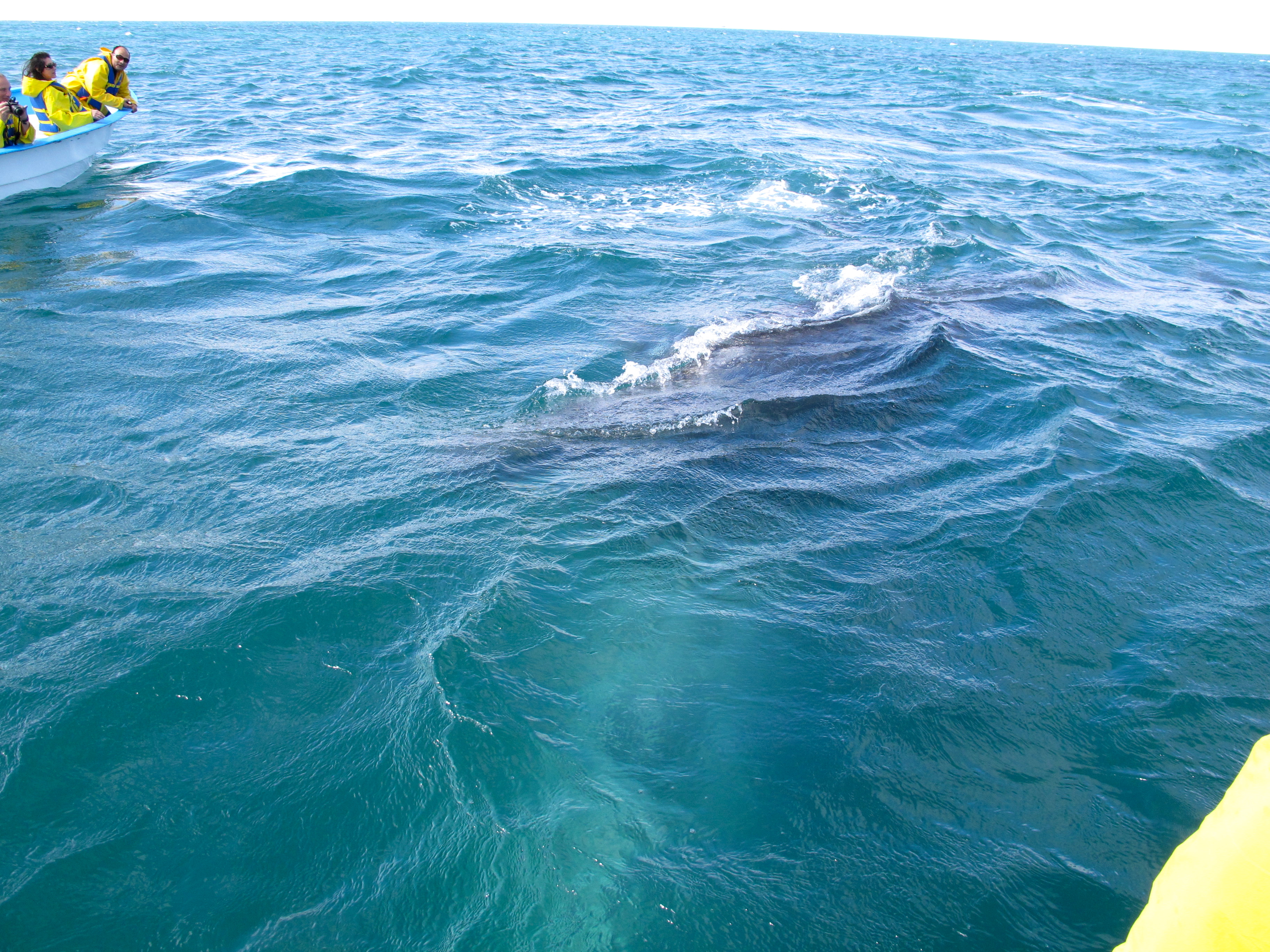
Here you can get a sense of the size of the baby relative to its mother. They swam next to each other with the baby coming up for air more frequently and the mother at its side. When the whales are first born, they stay in the more shallow waters of the lagoons where there is little current and the babies can learn to breath and how to dive. The mother introduces the baby to the stronger currents at the mouth of the lagoons at 2 or  3 months of age. Here they spend a few weeks getting bigger, stronger and more skilled at navigating the currents. They must learn a lot in these first few months because once they head out into the ocean, away from the safety of the lagoon, there will be orcas awaiting them.

Mama escorting her calf.

After returning from the whale watching tour we spent the afternoon chatting with Ed and Lynn about the experience and spending a wonderful afternoon sharing stories of our travels through Baja. It was a spectacular day sharing the whale experience with this really nice couple.

Here are a few of the many photos we took of the experience.

Whale's tail!
Whale’s tail!
A little mist from their blow holes.
Momma and baby are chasing us.
They caught us and hung out in the rear of the boat for a few minutes while we admired them.
They come right up to the boat!
You can get a real sense of their size here. This is one of the calves.
I could have stayed out for hours watching these animals!

Coco’s Corner, a Magical Forest and a Mission

Continuing south toward the Bahia de los Angeles we passed through Coco’s Corner. This is a must see for fans of the Baja off road races. The roads out to Coco’s Corner were all dirt, rutted and potholed. Darryl was in charge of driving at this point and I was free to enjoy the beautiful desert landscape. Coco is a legend in the off road racing scene and a jovial host. Everyone who says hello to him has to sign his guest book, which is massive, with their name and birth place. He is very particular about this point of birth place.

Image

At Coco’s we met Raul who told us about Campo Archelon in Bahia de los Angeles. He’s been staying there for years and was very enthusiastic about the location. After sketching a rough map to Campo Archelon in the dirt he told us about Antonio, the owner, who was a turtle researcher in a previous life.

After meeting Coco, signing our names and birth place to the guest book, taking photos of the panties hanging from Coco’s ceiling and cool “bad ass” vehicles in the lot we headed back down the road.

Motorcyle hanging outside Coco's.
Motorcyle hanging outside Coco’s.

After a day’s drive through the desert, the view coming into Bahia de los Angeles was absolutely stunning with its aquamarine colored waters dotted with islands.

Campo Archelon
Campo Archelon…we made it!

We referenced our mental notes of the map to Campo Archelon and arrived at a neatly kept campground originally established as a turtle research center. Our hosts, Antonio and his wife Bety Resendiz, were the first to establish the migratory path of loggerhead turtles in 1995 when a 213 pound turtle they tagged was found off the coast of Japan by local fishermen.

Antonio's and Bety's beautiful home at Campo Archelon.
Antonio’s and Beti’s beautiful home at Campo Archelon.
Signs we saw along the way in Bahia de los Angeles.
Another signpost dispensing more good advice.

The next day I awoke just before sunrise and enjoyed the changing palette of purples and pinks across the horizon. I’m not a morning person but this beauty is worthy of seriously considering a change in routine.

Beautiful sunrise
Beautiful sunrise
Taken just as the sun was peeking over the horizon.

After breakfast, we spoke with Antonio about scheduling a boat trip out on the bay with his neighbor’s son Angel. Within 30 minutes Angel was ready to take us out in his boat for a little fishing.

We were told by Angel that they fish for ahi, mahi, barracuda, grouper and sea bass among other fish. We trolled for bait by dragging this six inch lure behind the boat at speed. With no luck at trolling for bait fish, Angel decided to stop and fish a couple of spots until we got lucky and caught a small grouper. He cut it up for bait and I fed the head and spine to the pelican that was begging for a little taste.

Darryl was given a pole with two hooks on it. No sooner had he dropped the baited hooks into the water then he was pulling up TWO fish, one on each hook! Wow! After maybe 10 minutes, Darryl was pulling up another! All grouper, but we were having fun pulling them out of the water!

Our guide in search of Moby Dick.

Angel had a bit of Ahab in him so we went in search of another fishing spot to find something larger. Darryl eventually hooked something large enough to bite off the bait and the 6-inch lure! I wonder how that fish is feeling now with all of that metal in his belly. We didn’t hook anything else but Darryl’s catch made for a nice dinner. The wind picked up and we headed back. We were in for another windy night in the tent.

Antonio's map to the magical forest.
Antonio’s map to the magical forest.

The next day Darryl asked Antonio for advice on what to see on our way toward Guerrero Negro. Antonio drew us a map to Mission San Borja with a side trip to a “magical forest”. The path was along mostly unmarked dirt roads that were not on our map but we had a full tank of gas, plenty of water and a sense of adventure so off we went with map in hand to find what we could find.

As we were driving along the road, we felt transported into a Dr. Seuss book. The forest was full of boojum trees, elephant trees and cardon cactus. Eventually we came to a sign indicating that there were ancient cave paintings in the area. We got out to take a look around but what we found were only a few drawings along one of the walls. They weren’t very impressive so we got back into our car and retraced our path to the start then continued on toward Mission San Borja. We later learned that we were just a few yards from some caves where the real masterpieces were located! If we make it back we’ll definitely make the trip again to see them.

Dr. Seuss boojum trees.

The road to the mission was pretty rough and there were some steep sections that required 4WD. Atfter 20 miles of all dirt roads with no signs indicating whether we were on the right path we finally started to see some small hand-painted signs telling us that the mission was up ahead. This made me feel more comfortable.

Antonio told us that there is a couple that lives at the mission, Jose & Alicia, with their children and grandchildren. We were greeted by Jenaro, one of their children, when we arrived. The family is descended from the Indians that worked there when it was first founded in the 1500’s and have worked the land for generations. Jenaro gave us a tour of the mission and the surrounding spring fed garden. The garden, first planted by the missionaries, still yields figs, lemons, limes, pomegranates and grapes descended from those planted in earlier times. The family also has small herds of sheep, goats and cattle that roam the mountains and they have a few horses used for rounding up the small herd of cattle.

Jenaro was generous with his time sharing with us what life is like living in this paradise. He was home schooled for most of his primary and secondary education and is now in his 4th year of University studying archelology. Given the oral history of his family and a lifetime of exploring the caves full of ancient cave paintings, he has a wealth of practical knowledge that is supplemented now by the University. We hope to return for another visit later in the year to stay for a few days exploring the area with him.

Some details about the Mission.
DSCN1099
A look inside the mission.
DSCN1110
A view of the Mission and the beautiful mountain backdrop.


First days in Mexico

Our border crossing into Mexicali was uneventful. We went through the eastern-most border crossing after reading that there would be less traffic. The US border patrol seemed to be more interested in why we were going into Mexico than the Mexican border patrol who just waved us along. Once through we stopped to get our tourist visa and then we were on our way!

Our first stop was San Felipe, 125 miles south of Mexicali on Mex 1. The roads were easy to navigate and I faithfully followed the speed limits while all of Mexico sped past me. I didn’t want to encourage a meeting with the Mexican police.

We arrived at San Felipe in the late afternoon and chose Playa Bonita RV campground after visiting the four available campgrounds along the beach just north of town. After setting up camp, Poncho, the camp manager, drove us down to the main strip and gave us a little tour of the place along the way. It’s a tiny town with only two main streets so the tour was very short.

We found a really tasty taco stand at the south end of town. If you’re in San Felipe, stop by. It’s the only stand where they were cooking the food along the sidewalk with tables and a bar set inside the building. They had amazing grilled chicken and pork al pastor (roasted on a vertical rotisserie). We don’t remember the name but you can’t miss it.

Given all of the driving to this point, we decided to stay another day in San Felipe. It was a pretty little town and our first place along the Sea of Cortez. We walked to the Centro to get something for lunch and decided on another popular looking restaurant. When choosing our restaurants, we favor the ones that have more local patrons. Given our waiter’s limited English, I was forced to try out my broken Spanish with mixed results. I thought that I ordered 4 items but we ended up with two additional items and potentially more on the way when I finally told him…basta! enough! Nada mas!

The next day we continued south along the Sea of Cortez toward Puertocitos. We stopped at the Valley of the Giants to see the Giant Saguaros. In 1992, Mexico sent one to Spain as a gift in commemoration of the 500 year anniversary of the discovery of Mexico. These giants grow to over 10 tons and live to be more than 2,000 years old. They don’t sprout their first arm until they are around 75 years old. Of the more than 40 million seeds it produced in its lifetime, maybe one will survive to maturity.

DSCN0944
I’m almost 6′ tall and am dwarfed by this giant.

DSCN0951When we arrived at the Valley of the Giants, we were met by an engaging gentleman who was busy lassoing a cow skull. We paid him the entrance fee of USD$10 and he pointed us in the direction of the giants. We drove along until the sandy road became too deep for our comfort then headed back out to continue our journey to Puertecitos.

On our way into Puertecitos, we noticed a little shack on the side of the road named Cowpatty.

10 Bucks to whomever guesses what the green thing is in the car!

We made a mental note of the restaurant but went to Puertecitos first, hoping for some other options. We asked the hostess of the campsite in Puertecitos about other food options and the prices for camping and soaking in the hot springs. There was no food to be had and the prices for camping and the hot springs were more than we wanted to pay. We were pretty hungry so we decided to go back to Cowpatty and figure out our next move. For once, I held my expectations in check. With a  name like Cowpatty, who knows what could be in store! Well, they only had hot dogs, chips and soda or beer on the menu. I think this was my first hot dog in over 5 years!

After we finished eating one of the customers told us that there was a good restaurant down the road just past Puertecitos called Christina’s. Great timing! If only he had mentioned that about 5 minutes earlier. 🙂 So Darryl and I got back in the car with fingers crossed, hoping that the restaurant would be open. When we arrived, we saw that the three motorcyclists that passed us earlier and were also at the Puertecitos campsite were there as well. They invited us to sit with them and we had a wonderful dinner sharing stories about our travels, the planning and where we were headed. They are also on their way to the southern tip of Argentina. Check them out at www.3upcollective.com.

After dinner, we decided to stay at the beach in front of Christina’s restaurant. Check out our penthouse view! We thought we had the place all to ourselves until a litter of coyote pups woke us up at about 3 am. What a rough life but I’ll take it!!

DSCN0970
Sunset on our beachfront site.


Death Valley to the Salton Sea and Places In Between

We started our trip at a little past midnight on Saturday, March 8 heading toward Death Valley from our home in San Jose, CA. The distance is just over 400 miles which we broke up into two stops. The first was at a Holiday Inn Express in Fresno, CA and the second at Ricardo Campground in Red Rock Canyon State Park just outside Mojave, CA.

This was our first camp site.
Darryl washing dishes after breakfast.
Our home for the next 6 months.

DSCN0230

On 395 near Olancha, CA we stopped to check out the Freshjerkey.com. Neither of us eat much jerkey but this was really good! Nice and tender with great seasoning. Their dried apricots were so good that Darryl had to return after getting gas to buy another bag. DSCN0235We were thinking that we found this unique little place until we saw another one a few days later outside of Beatty, NV. In any case, we highly recommend the jerkey and the dried fruit so check them out on line at Freshjerkey.com and they will ship their goodies your way.

Dropping down into Death Valley we stopped at a vista point off of 190. The views were spectacular but impossible for me to capture adequately on film.DSCN0258

We stayed at Panamint Springs Resort in Death Valley. I met a fellow Iowan working at the General Store. She and her boyfriend were following seasonal work throughout the National Parks. They just came from Glacier National Park. Pretty cool way to spend your first years out of school in my opinion!

Enjoying the trip!
Enjoying the trip!

The next day we went to Ubehebe Crater. We thought that it was a crater created by a meteor but learned that it’s actually the result of a volcanic eruption and there are many of these craters scattered throughout the park.Ubehebe Crater, Death Valley

We hiked down to the bottom of the crater which was a pretty steep descent. You can see Darryl off in the distance.
From inside the crater

We had hoped to drive through Titus Canyon on this trip through DSCN0435Death Valley but learned that it was closed due to some washouts that were being repaired but might reopen any day. In the meantime, we decided to do a side trip over to Las Vegas to pick up some car parts at the Toyota dealer. Along the way, we stopped at Rhyolite, a ghost town just West of Beatty, NV. There were still a number of buildings visible.

I took a photo of the self-guided walking tour document to show just how short-lived these gold rush era ghost towns were. This is typical of the boom and bust cycles of other ghost towns that we’ve seen where they are bust just 2 or 3 years after their peak.DSCN0414

DSCN0401

Cook Bank Building
Cook Bank Building

DSCN0393There was a quirky little outdoor art exhibit at Rhyolite led by Albert Szukalski which led to the founding of the Goldwell Open Air Museum.

An interpretation of The Last Supper by Albert Szukalski.
Ghost rider
Ghost rider

DSCN0378

After Rhyolite we headed over to Las Vegas and had the best BBQ yet at Road Kill Grill! IMG_1156This was a real find thanks to Guy Fieri of Diners, Drive-Ins and Dives. When we don’t have time to get a local’s recommendation, we have had great luck at checking out the spots that he has reviewed http://www.flavortownusa.com/.

IMG_1158

Our next stop was to learn about ghosts at the Amargosa Opera House. Someone we met from Pahrump, NV told us about the place and how it was featured on a ghost hunters program. DSCN0468We thought that it would be fun to stop by and take the tour. We Didn’t learn about any ghosts but instead were treated to the fascinating life story of Marta Becket. She is 90 years old and owns the tiny town with a population of 2. She passed through Amargosa in the late 60’s and returned for good in the early 70’s leaving New York with her husband to create a new life in the West. She held weekly performances in the Opera House but rarely had an audience to the remote location. Marta decided that if she didn’t have a live audience then she would create her own and painted the murals the decorate all of the walls and ceiling of the Opera House.

DSCN0477

DSCN0479

After the tour, we walked over to the little cafe in the hotel and had the BEST cherry pie EVER! DSCN0469Unfortunately, I didn’t get a photo quick enough. If you ever drive through Amargosa, this is well worth the time to rest and have a wonderful little treat.

Our next stop was Dantes View in Death Valley. This viewpoint looks over Badwater in Death Valley. Again, the views are dramatic but I haven’t figured out how to do them justice in my photos.

DSCN0486

DSCN0497

On our way back from Dantes View we took the dirt road through 20 Mule Team Canyon. This was our first “off road” trek which was extremely tame. Just the sort of baby steps I needed to get comfortable with the idea of “off-roading”. 🙂 There was really no need for a 4×4 and the views were stunning. It is definitely worth of a short side trip given the scenery.DSCN0512

That evening we camped in the back country along Hole in the Wall road. This was our first free campsite in Death Valley since we didn’t realize that you can actually dry camp in the back country as long as you’re 2 miles off any main road. There is a DSCN0585brochure that you can get at Furnace Creek if you ask the ranger. It’s not something that is publicized and we couldn’t find any information about backcountry camping on the National Park Service’s website.

DSCN0523
Our first free campsite and my first attempt at using the tri-pod and timer.

We drove to the end of “Hole in the Wall” road after breakfast and found more beautiful views and interesting rock formations but we couldn’t find the hole.DSCN0540

DSCN0538

Since Titus Canyon was still closed we decided to venture back toward Stovepipe Wells and DSCN0558do the short hike at Mosaic Canyon. The hike was nice and cool since it was through a tight canyon with cool marble-like rock surrounding us. Here we are at the end of the canyon.

After the hike we made the trek toward our next campsite at Wildrose. This was also free but was a maintained site with vault toilets and fire pits. As we watched gained in elevation, we knew that we would be in for another cold and windy night! We learned that March is the windiest time to visit Death Valley and the nights got down to the high 30’s but the days were perfect just hovering in the low-mid 70’s. The campsite as at 4,144 feet but FREE! DSCN0574On the way, Darryl had me get out and take a few shots of a “bad ass” vehicle we saw along the way. There will be a separate home for his killer vehicles that we’re collecting along our trip.

The next day we drove down to the Swiss engineered charcoal kilns DSCN0591built by Chinese laborers in 1879.These were built to make charcoal, a process that would take up to two weeks. This charcoal was used for the silver and lead mining operations at Modock Mine in Death Valley. The kilns closed after only 3 years of operation.

After our venture out to the charcoal kilns, we headed back to Furnace Creek, a distance of over 70 miles, to ask again if Titus Canyon was open. Unfortunately, it was still closed with two more sections to fix. It wouldn’t be open anytime soon so we decided to move forward with our trip and leave Titus Canyon for another day.

We stopped in Baker, CA for gas and a quick bite to eat to figure out our next place to spend the night. We decided on Hole in the Wall campground DSCN0614in Mojave National Preserve. A little trivia for you here; the difference between a National Preserve and a National Park is that you can hunt in a Preserve. Fortunately, our campground was in a “Safety Zone”. We know this because there was a sign posted at the entrance. I only hope that bullets can read signs. Our campsite cost $12.

The next day we headed over to Kelso Depot and spent some time looking at the “Mojave Moonlight” photo exhibit by Tom Lowe. They were pretty impressive photos of the desert at night. IMG_1170Our next stop was Kelso Dunes. I was enjoying the stroll through the dunes then realized that Darryl had a workout planned for us when I saw him heading straight up the side of a dune rather than taking the more gradual route along the ridge. I then learned the literal meaning of “one step forward and two steps back” on that climb!

On the way down, Darryl took the easier route.

We headed out to Barstow to find a few ghost towns to visit before heading down to Joshua Tree National Park. IMG_1182On the way we spent the night at Owl Canyon Campground in Rainbow Basin Natural Area (BLM land) just North of Barstow.
It was here that Darryl and I first heard of the bear-dog that roamed this area 16 million years ago!


The desert sky was getting more spectacular as we drew closer to the full moon.DSCN0650The next day we searched for nearby ghost towns and struck out looking for the first one so we went over to Calico which was well marked on the map and by street signs.

IMG_1183
Starbucks pre-IPO circa 1881!

It looked really interesting on the website so my expectations were running high and then they dropped a little when I saw the huge parking lot for all of the tourists and then I went into full-on disappointment when I saw the Starbucks sign. I’ve got to remember to keep my expectations in check!! But as Darryl pointed out, it was interesting to see how one of these towns looked at their peak.

DSCN0659
Replica of original school house.
DSCN0671
Mining operation at Calico.
DSCN0679
Fire engine

After the tourist trap we continued toward Joshua Tree National Park where we stayed at Jumbo Rocks campground. We hiked the Boy Scout Trail the next day. DSCN0694The drought this past winter resulted in a very limited desert bloom throughout Death Valley, Mojave and Joshua Tree. I was pretty excited to see the few blooms there were in Joshua Tree which had many more blooms compared to Death Valley.

DSCN0718

DSCN0700

DSCN0692

The next day we took the Geology Road and saw a little more of the back country. The road was actually a self-guided geology tour along an 18 mile dirt road. They did a really good job of identifying various geological points of interest along the road. If you make it to Joshua Tree, spend the hour to take the tour. Unfortunately, my photos didn’t make the cut for this post.

DSCN0782We then headed out of Joshua Tree the park and into Joshua Tree the town for a few hours of cleaning. First, Darryl found this amazing shower at Coyote Corner where you could get 7 minutes of water for $4. Well worth it after a few too many days without one.

Then we went to get our landry done. While it was drying, we went to the Natural Sisters Cafe for something sweet and we were not disappointed. We shared a vegan apple muffin (delicious!!) and we each had a smoothie. Mine was the Climbers Revenge made with dates and Darryl’s was the Desert Sunrise. They were both awesome! We highly recommend their deserts and smoothies. We didn’t try the sandwiches but they get great reviews on Yelp.

Our next stop was Palm Springs, CA where we had amazing burgers at Woody’s Burgers. We did errands in the Palm Springs area and then back to the fun stuff.

We continued on to the Salton Sea. DSCN0806Here is a photo of our guest at the campsite there, a beautiful little black widow. We wandered along the coast of the sea which had the most interesting beach made of what lookedDSCN0825 like fish cartilage. The place smelled like dead fish given the many fish die-offs resulting from the over population of Tilapia which is estimated to be over 400 million.

DSCN0900

DSCN0875

Our final stop along the Salton Sea and before dropping into Baja Mexico was to see Slab City which I saw in the movie “Into the Wild”. I was curious to see how similar it was to the movie, it wasn’t. Hollywood sure can create fiction from reality.DSCN0834

DSCN0853

DSCN0865Next stop border crossing at Mexicali and then on to Baja California, Mexico!!


Jennifer Hofmann

Inspiration for soul-divers, seekers, and activists.

GALLIVANCE

FASCINATED BY THE WORLD

HomeCrunch

a place to update friends & family on our travels

Latin America Road Trip

Living our dreams!

RideDOT.com

a place to update friends & family on our travels

Desk to Glory |

a place to update friends & family on our travels

Sprinter Life

a place to update friends & family on our travels

%d bloggers like this: